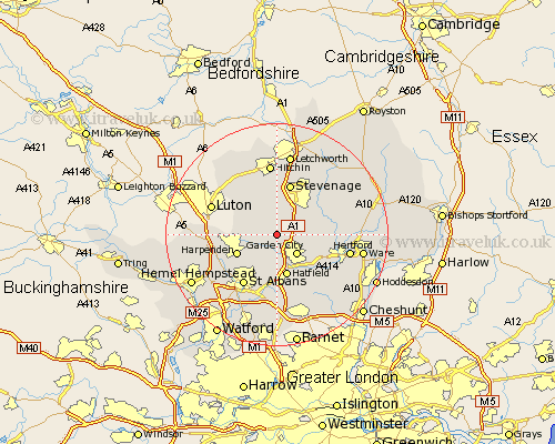
Hertfordshire Map Showing Location of Ayot St. Lawrence
Population: 112
District: Welwyn Hatfield
Easting: 520568 Northing: 216462
Latitude: 51.83 Longitude: -0.25
 = Ayot St. Lawrence
District: Welwyn Hatfield
Easting: 520568 Northing: 216462
Latitude: 51.83 Longitude: -0.25
= Ayot St. Lawrence
This Ayot St. Lawrence map below is supplied by Google. Use the tools in the top left corner to zoom into street level or zoom out for a road map, you may also need to zoom in to see Ayot St. Lawrence on the map. Click and drag the map to move around. If the map fails to load try and refresh your browser or zoom in or out (+ or -).
Update - it seems Google no longer allow people to use their maps for free! This Ayot St. Lawrence map sometimes loads and sometimes gives a error. I am working on a solution.
Closest 30 Towns or Cities to Ayot St. Lawrence (Population over 500)
Codicote 2.18km Welwyn 2.29km Kimpton 2.95km Wheathampstead 4.35km Knebworth 4.94km Garden City 5.05km Welwyn Garden City 5.05km Tewin 7.12km Datchworth 7.12km Harmer Green 7.55km Hatfield 7.58km Harpenden 7.81km Sandridge 8.16km Aston 8.84km Bishops Hatfield 9.36km Stevenage 9.55km Stapleford 10.31km Watton 10.47km Watton at Stone 10.47km Redbourn 10.72km St. Albans 10.89km St Albans 10.89km Saint Albans 10.89km Offley 10.9km Great Offley 10.9km Colney Heath 11.12km Wymondley 11.35km Great Wymondley 11.35km Essendon 11.54km Graveley 11.64km