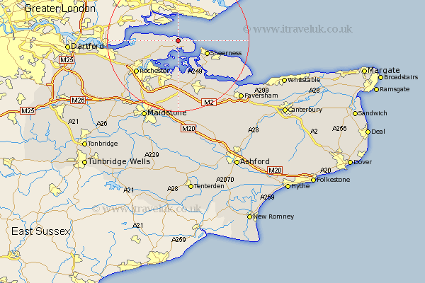
Kent Map Showing Location of Allhallows
Population: 1649
Easting: 584045 Northing: 177576
Latitude: 51.47 Longitude: 0.65
 = Allhallows
Easting: 584045 Northing: 177576
Latitude: 51.47 Longitude: 0.65
= Allhallows
This Allhallows map below is supplied by Google. Use the tools in the top left corner to zoom into street level or zoom out for a road map, you may also need to zoom in to see Allhallows on the map. Click and drag the map to move around. If the map fails to load try and refresh your browser or zoom in or out (+ or -).
Update - it seems Google no longer allow people to use their maps for free! This Allhallows map sometimes loads and sometimes gives a error. I am working on a solution.
Closest 30 Towns or Cities to Allhallows (Population over 500)
Stoke 4.37km Grain 4.98km High Halstow 7.86km Sheerness 8.9km Hoo 9.4km Queenborough 9.81km Gillingham 11.04km Upchurch 11.12km Lower Halstow 11.18km Iwade 12.53km Minster 12.82km Newington 13.03km Chatham 13.09km Higham 13.24km Bobbing 13.43km Strood 13.93km Rochester 14.64km Sittingbourne 16.38km Stockbury 16.68km Eastchurch 16.75km Shorne 16.75km Borden 17.04km Tunstall 17.31km Bapchild 18.54km Teynham 18.81km Warden 18.85km Bredgar 18.86km Cuxton 18.99km Wouldham 19.54km Cobham 19.66km