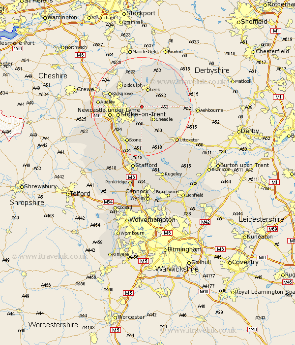
Staffordshire Map Showing Location of Wetley
District: Staffordshire Moorlands
Easting: 396647 Northing: 348481
Latitude: 53.03 Longitude: -2.05
 = Wetley
Easting: 396647 Northing: 348481
Latitude: 53.03 Longitude: -2.05
= Wetley
This Wetley map below is supplied by Google. Use the tools in the top left corner to zoom into street level or zoom out for a road map, you may also need to zoom in to see Wetley on the map. Click and drag the map to move around. If the map fails to load try and refresh your browser or zoom in or out (+ or -).
Update - it seems Google no longer allow people to use their maps for free! This Wetley map sometimes loads and sometimes gives a error. I am working on a solution.
Closest 30 Towns or Cities to Wetley (Population over 500)
Cheddleton 2.17km Kingsley 4.83km Ipstones 5.57km Caverswall 5.67km Endon 7.12km Cheadle 7.13km Draycott 7.49km Draycott in the Moors 7.49km Leek 7.74km Fulford 9.33km Horton 9.54km Oakamoor 9.66km Stoke upon Trent 9.66km Stoke 9.66km Stoke-upon-Trent 9.66km Stoke on Trent 9.66km Stoke-on-Trent 9.66km Biddulph 12.11km Barlaston 12.12km Waterhouses 12.26km Newcastle under Lyme 12.81km Newcastle-under-Lyme 12.81km Checkley 12.98km Hilderstone 13.16km Alton 13.39km Kidsgrove 13.45km Church Leigh 14.11km Leigh 14.11km Denstone 15.3km Denston 15.3km