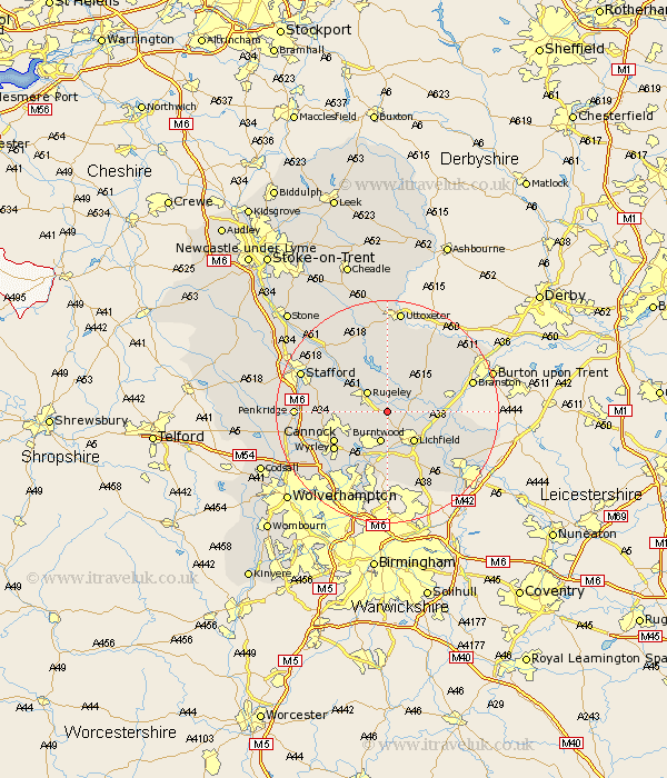
Staffordshire Map Showing Location of Armitage
Population: 3974
Area Size (ha): 103
District: Lichfield
Easting: 407877 Northing: 315117
Latitude: 52.73 Longitude: -1.88
 = Armitage
Area Size (ha): 103
District: Lichfield
Easting: 407877 Northing: 315117
Latitude: 52.73 Longitude: -1.88
= Armitage
This Armitage map below is supplied by Google. Use the tools in the top left corner to zoom into street level or zoom out for a road map, you may also need to zoom in to see Armitage on the map. Click and drag the map to move around. If the map fails to load try and refresh your browser or zoom in or out (+ or -).
Update - it seems Google no longer allow people to use their maps for free! This Armitage map sometimes loads and sometimes gives a error. I am working on a solution.
Closest 30 Towns or Cities to Armitage (Population over 500)
Longdon 1.85km Colton 4.34km Rugeley 5.01km Burntwood 5.67km Yoxall 6.98km Lichfield 7.15km Norton Canes 7.9km Hednesford 8.69km Colwich 8.73km Hammerwich 9.26km Abbots Bromley 9.27km Whittington 9.63km Alrewas 10.27km Cannock 10.56km Huntington 10.76km Great Wyrley 11.46km Wyrley 11.46km Shenstone 11.62km Brownhills 11.62km Elford 12.53km Bednall 12.89km Tatenhill 13.53km Pelsall 13.72km Edingale 13.97km Weston upon Trent 14.29km Weston 14.29km Aldridge 14.99km Hanbury 15.01km Shareshill 15.38km Rushall 15.49km