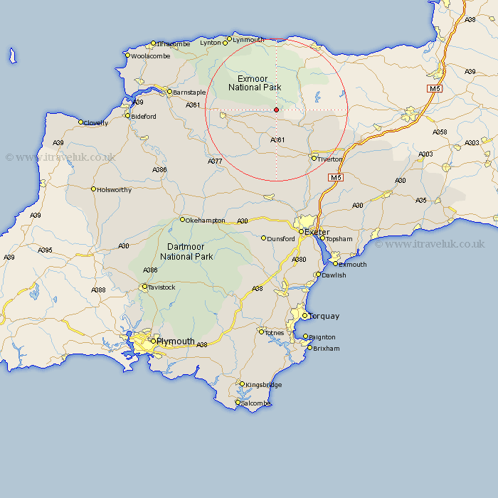
Devon Map Showing Location of West Anstey
Population: 160
District: North Devon
Easting: 285486 Northing: 127322
Latitude: 51.03 Longitude: -3.63
 = West Anstey
District: North Devon
Easting: 285486 Northing: 127322
Latitude: 51.03 Longitude: -3.63
= West Anstey
This West Anstey map below is supplied by Google. Use the tools in the top left corner to zoom into street level or zoom out for a road map, you may also need to zoom in to see West Anstey on the map. Click and drag the map to move around. If the map fails to load try and refresh your browser or zoom in or out (+ or -).
Update - it seems Google no longer allow people to use their maps for free! This West Anstey map sometimes loads and sometimes gives a error. I am working on a solution.
Closest 30 Towns or Cities to West Anstey (Population over 500)
North Molton 11.8km Bampton 11.88km South Molton 14.11km Witheridge 14.22km Tiverton 18.17km Sampford Peverell 19.76km Chawleigh 20.39km Cheriton Fitzpaine 20.42km Chulmleigh 20.86km Holcombe Rogus 21.16km Halberton 21.21km Lapford 21.9km Morchard Bishop 21.96km Chittlehampton 22.22km Swimbridge 23.38km Bratton Fleming 23.99km Burlescombe 24.02km Sandford 24.2km Cullompton 24.71km Lynton 24.71km Linton 24.71km Barrington 24.8km Burrington 24.8km Willand 25.04km Uffculme 25.71km Silverton 26.28km High Bickington 26.71km Thorverton 26.87km Bradninch 26.93km Copplestone 27.2km