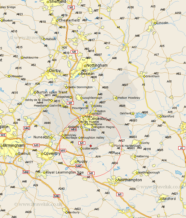
Leicestershire Map Showing Location of Walton In Knaptoft
Population: 548
District: Harborough
Easting: 460002 Northing: 285825
Latitude: 52.47 Longitude: -1.12
 = Walton In Knaptoft
District: Harborough
Easting: 460002 Northing: 285825
Latitude: 52.47 Longitude: -1.12
= Walton In Knaptoft
This Walton In Knaptoft map below is supplied by Google. Use the tools in the top left corner to zoom into street level or zoom out for a road map, you may also need to zoom in to see Walton In Knaptoft on the map. Click and drag the map to move around. If the map fails to load try and refresh your browser or zoom in or out (+ or -).
Update - it seems Google no longer allow people to use their maps for free! This Walton In Knaptoft map sometimes loads and sometimes gives a error. I am working on a solution.
Closest 30 Towns or Cities to Walton In Knaptoft (Population over 500)
Gilmorton 2.26km Gilmarton 2.26km Husbands Bosworth 4.88km Lutterworth 5.94km Broughton Astley 8.76km Ullesthorpe 9.03km Countesthorpe 9.33km Cosby 10.3km Little Claybrooke 10.33km Claybrooke 10.33km Claybrooke Parva 10.33km Glen Parka 11.12km Glen Parva 11.12km Lubenham 11.29km Blaby 11.35km Sapcote 11.58km Kibworth Harcourt 11.67km Kibworth 11.67km Whetstone 12km Croft 12.17km Narborough 12.46km Great Glen 12.47km Stoney Stanton 12.57km Sharnford 12.58km Wigston 13.01km Wigston Magna 13.01km Oadby 13.16km Market Harborough 13.55km Enderby 14.14km Great Bowden 14.79km