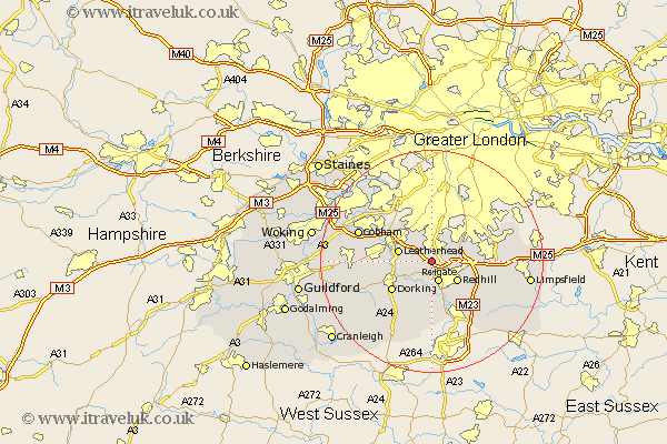
Surrey Map Showing Location of Walton On The Hill
District: Reigate and Banstead
Easting: 523238 Northing: 153488
Latitude: 51.27 Longitude: -0.23
 = Walton On The Hill
Easting: 523238 Northing: 153488
Latitude: 51.27 Longitude: -0.23
= Walton On The Hill
This Walton On The Hill map below is supplied by Google. Use the tools in the top left corner to zoom into street level or zoom out for a road map, you may also need to zoom in to see Walton On The Hill on the map. Click and drag the map to move around. If the map fails to load try and refresh your browser or zoom in or out (+ or -).
Update - it seems Google no longer allow people to use their maps for free! This Walton On The Hill map sometimes loads and sometimes gives a error. I am working on a solution.
Closest 30 Towns or Cities to Walton On The Hill (Population over 500)
Tadworth 1.85km Buckland 3.89km Betchworth 3.89km Reigate 3.89km Redhill 5.94km Leatherhead 6.08km Mickleham 6.09km Banstead 7.24km Leigh 7.42km Salfords 8.75km Dorking 8.91km Oxshott 9.83km Nutfield 9.84km Westcott 9.84km Bletchingley 10km Caterham 10.44km Holmwood 10.94km Effingham 11.75km Whyteleafe 11.82km Horley 12.05km Godstone 12.18km Claygate 12.31km Wotton 12.81km Charlwood 13.03km Esher 13.1km Warlingham 13.28km Newdigate 13.44km Cobham 13.91km Church Cobham 13.91km Woldingham 14.03km