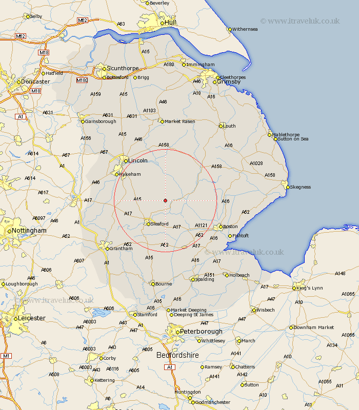
Lincolnshire Map Showing Location of Walcot
District: North Kesteven
Easting: 512736 Northing: 355366
Latitude: 53.08 Longitude: -0.32
 = Walcot
Easting: 512736 Northing: 355366
Latitude: 53.08 Longitude: -0.32
= Walcot
This Walcot map below is supplied by Google. Use the tools in the top left corner to zoom into street level or zoom out for a road map, you may also need to zoom in to see Walcot on the map. Click and drag the map to move around. If the map fails to load try and refresh your browser or zoom in or out (+ or -).
Update - it seems Google no longer allow people to use their maps for free! This Walcot map sometimes loads and sometimes gives a error. I am working on a solution.
Closest 30 Towns or Cities to Walcot (Population over 500)
Billinghay 2.23km Digby 3.34km Martin 3.88km Scopwick 5.87km Bloxholme 6.68km Bloxholm 6.68km Ruskington 7.12km Buskington 7.12km Metheringham 7.86km Tattershall 8.01km Brauncewell 8.63km Dunston 9.27km Heasingham 9.98km Leasingham 9.98km Woodhall Spa 9.98km Coningsby 10.68km Nocton 11.42km Cranwell 11.46km Sleaford 11.79km Potter Hanworth 12.97km Heckington 13.16km Navenby 13.48km Wellingore 14.59km Bardney 14.83km Branston 14.96km Hale 14.99km Great Hale 14.99km Welbourn 15.7km Heighington 16.39km Helpringham 16.72km