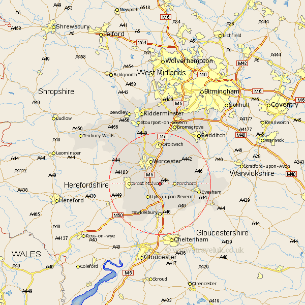
Worcestershire Map Showing Location of Wadborough
Population: 1762
District: Wychavon
Easting: 389730 Northing: 246543
Latitude: 52.12 Longitude: -2.15
 = Wadborough
District: Wychavon
Easting: 389730 Northing: 246543
Latitude: 52.12 Longitude: -2.15
= Wadborough
This Wadborough map below is supplied by Google. Use the tools in the top left corner to zoom into street level or zoom out for a road map, you may also need to zoom in to see Wadborough on the map. Click and drag the map to move around. If the map fails to load try and refresh your browser or zoom in or out (+ or -).
Update - it seems Google no longer allow people to use their maps for free! This Wadborough map sometimes loads and sometimes gives a error. I am working on a solution.
Closest 30 Towns or Cities to Wadborough (Population over 500)
Kempsey 3.88km Defford 4.36km Seven Stoke 4.92km Severn Stoke 4.92km Peopleton 5.03km Pershore 5.69km Eckington 6.01km Hanley Castle 6.8km Upton upon Severn 7.19km Upton-on-Severn 7.19km Upton 7.19km Upton on Severn 7.19km Powick 8.8km Fladbury 9.1km Crowle 9.54km Ripple 9.55km Bredon 9.55km Worcester 9.87km Bishampton 10.66km Cropthorne 10.9km Malvern 11.38km Great Malvern 11.38km Charlton 11.53km Welland 12.65km Hallow 13.04km Malvern Wells 13.06km Fernhill Heath 13.41km Leigh 13.57km Beckford 13.68km Ashton-under-Hill 13.82km