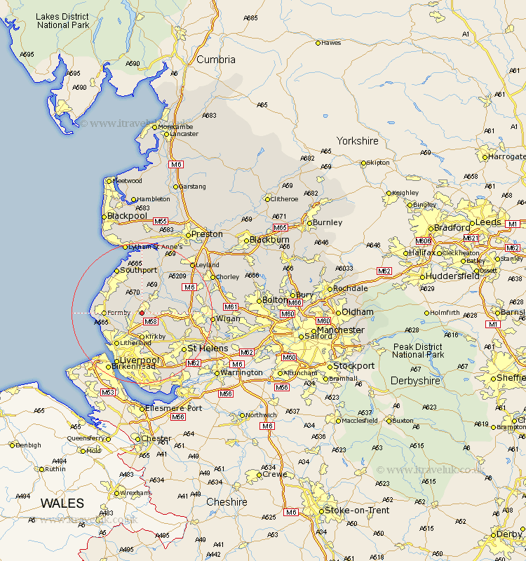
Lancashire Map Showing Location of Town Green
District: West Lancashire
Easting: 340377 Northing: 406333
Latitude: 53.55 Longitude: -2.9
 = Town Green
Easting: 340377 Northing: 406333
Latitude: 53.55 Longitude: -2.9
= Town Green
This Town Green map below is supplied by Google. Use the tools in the top left corner to zoom into street level or zoom out for a road map, you may also need to zoom in to see Town Green on the map. Click and drag the map to move around. If the map fails to load try and refresh your browser or zoom in or out (+ or -).
Update - it seems Google no longer allow people to use their maps for free! This Town Green map sometimes loads and sometimes gives a error. I am working on a solution.
Closest 30 Towns or Cities to Town Green (Population over 500)
Ormskirk 1.86km Aughton 2.16km Halsall 4.96km Maghull 4.96km Bickerstaffe 5.76km Burscough 5.76km Lydiate 5.76km Lathom 5.81km Scarisbrick 5.98km Skelmersdale 6.86km Sefton 7.09km Kirkby 7.42km Melling 7.5km Rainford 7.58km Ince Blundell 8.55km Rufford 8.62km Thornton 8.64km Aintree 9.52km Parbold 9.55km Formby 9.91km Hightown 10.58km Litherland 11.38km Mawdesley 11.51km Knowsley 11.6km Crosby 11.92km Bootle 12.05km Appley Bridge 12.25km Eccleston 13.53km Tarleton 13.7km Croston 14.18km