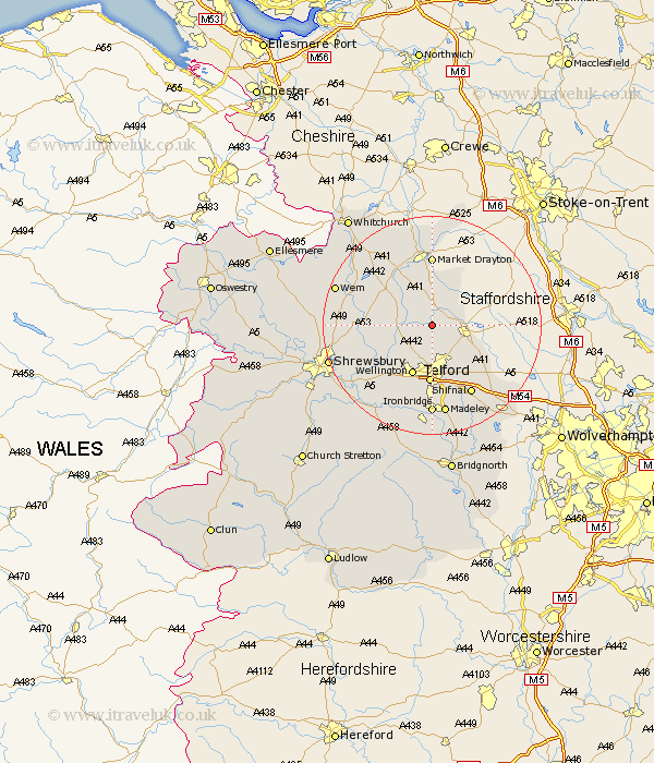
Shropshire Map Showing Location of Tibberton
District: North Shropshire
Easting: 368528 Northing: 320774
Latitude: 52.78 Longitude: -2.47
 = Tibberton
Easting: 368528 Northing: 320774
Latitude: 52.78 Longitude: -2.47
= Tibberton
This Tibberton map below is supplied by Google. Use the tools in the top left corner to zoom into street level or zoom out for a road map, you may also need to zoom in to see Tibberton on the map. Click and drag the map to move around. If the map fails to load try and refresh your browser or zoom in or out (+ or -).
Update - it seems Google no longer allow people to use their maps for free! This Tibberton map sometimes loads and sometimes gives a error. I am working on a solution.
Closest 30 Towns or Cities to Tibberton (Population over 500)
Cherrington 2.9km Edgmond 3.84km Chetwynd 4.48km Newport 5.6km Hinstock 5.67km Lilleshall 7.14km Trench 7.4km Donnington 7.74km Downington 7.74km Stoke upon Tern 8.66km Stoke 8.66km Ketley 9.33km Hadley 9.33km Oakengates 9.53km High Ercall 9.71km Ercall Magna 9.71km Wellington 9.86km Cheswardine 9.86km Woodcote 10.55km Telford 10.78km Hodnet 10.79km Wrockwardine 11.45km Rodington 11.52km Shawbury 12.33km Stanton upon Hine Heath 12.87km Stanton 12.87km Dawley 12.97km Market Drayton 12.98km Shifnal 14.61km Broughton 15.16km