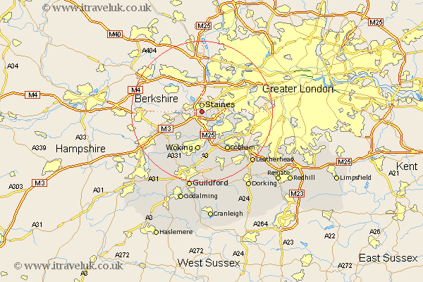
Surrey Map Showing Location of Thorpe
District: Runnymede
Easting: 503137 Northing: 169730
Latitude: 51.42 Longitude: -0.52
 = Thorpe
Easting: 503137 Northing: 169730
Latitude: 51.42 Longitude: -0.52
= Thorpe
This Thorpe map below is supplied by Google. Use the tools in the top left corner to zoom into street level or zoom out for a road map, you may also need to zoom in to see Thorpe on the map. Click and drag the map to move around. If the map fails to load try and refresh your browser or zoom in or out (+ or -).
Update - it seems Google no longer allow people to use their maps for free! This Thorpe map sometimes loads and sometimes gives a error. I am working on a solution.
Closest 30 Towns or Cities to Thorpe (Population over 500)
Staines 1.85km Egham 3.47km Chertsey 3.89km Shepperton 5.93km Addlestone 6.02km Virginia Water 6.07km Weybridge 6.55km Walton 6.87km Walton upon Thames 6.87km Ottershaw 7.51km Sunbury 8.3km Lower Sunbury 8.3km Sunbury-on-Thames 8.3km Sunbury on Thames 8.3km Byfleet 9.9km Windlesham 10.79km Chobham 10.93km Woking 11.18km Molesey 11.71km Bisley 12.31km Esher 12.78km Bagshot 12.83km Church Cobham 13.11km Cobham 13.11km Claygate 13.74km Send 14.88km Ripley 15.01km Worplesdon 15.92km Oxshott 16.05km Camberley 16.77km