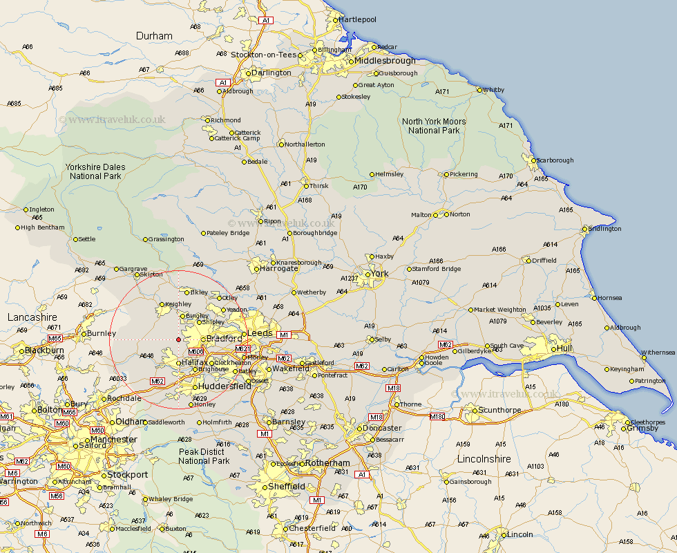
Yorkshire Map Showing Location of Thornton
District: Bradford
Easting: 409882 Northing: 431920
Latitude: 53.78 Longitude: -1.85
 = Thornton
Easting: 409882 Northing: 431920
Latitude: 53.78 Longitude: -1.85
= Thornton
This Thornton map below is supplied by Google. Use the tools in the top left corner to zoom into street level or zoom out for a road map, you may also need to zoom in to see Thornton on the map. Click and drag the map to move around. If the map fails to load try and refresh your browser or zoom in or out (+ or -).
Update - it seems Google no longer allow people to use their maps for free! This Thornton map sometimes loads and sometimes gives a error. I am working on a solution.
Closest 30 Towns or Cities to Thornton (Population over 500)
Denholme 3.28km Wilsden 3.87km Queensbury 4.75km Cullingworth 4.96km Bradford 6.57km Oxenhope 6.83km Halifax 7.41km Bingley 7.5km Haworth 7.54km Shipley 7.8km Luddenden Foot 9.21km Baildon 9.22km Brighouse 10.25km Elland 11.17km Mytholmroyd 11.48km Cleckheaton 11.48km Heptonstall 11.56km Hebden Bridge 11.56km Keighley 11.95km Pudsey 12.04km Guiseley 12.75km Steeton 12.91km Menston 13.5km Liversedge 13.53km Silsden 14.08km Sutton-in-Craven 14.15km Ripponden 14.54km Ilkley 14.99km Yeadon 15.19km Heckmondwike 15.2km