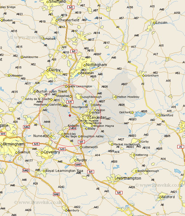
Leicestershire Map Showing Location of Thornton
District: Hinckley and Bosworth
Easting: 447351 Northing: 306076
Latitude: 52.65 Longitude: -1.3
 = Thornton
Easting: 447351 Northing: 306076
Latitude: 52.65 Longitude: -1.3
= Thornton
This Thornton map below is supplied by Google. Use the tools in the top left corner to zoom into street level or zoom out for a road map, you may also need to zoom in to see Thornton on the map. Click and drag the map to move around. If the map fails to load try and refresh your browser or zoom in or out (+ or -).
Update - it seems Google no longer allow people to use their maps for free! This Thornton map sometimes loads and sometimes gives a error. I am working on a solution.
Closest 30 Towns or Cities to Thornton (Population over 500)
Markfield 2.17km Bagworth 2.25km Desford 3.87km Newbold Verdon 4.33km Barlestone 4.87km Kirby Muxloe 6.73km Ibstock 7km Market Bosworth 7.7km Ansty 7.87km Anstey 7.87km Coalville 8.67km Heather 8.7km Ravenstone 8.74km Ravenstone with Snibston 8.74km Shackerstone 8.99km Swannington 9.86km Woodhouse 10.02km Enderby 10.03km Braunstone 10.58km Elmsthorpe 11.12km Elmesthorpe 11.12km Leicester 11.4km Leiscester 11.4km Stoke Golding 11.46km Narborough 11.47km Croft 12km Whetstone 12.16km Birstall 12.5km Rothley 12.54km Mountsorrel 12.54km