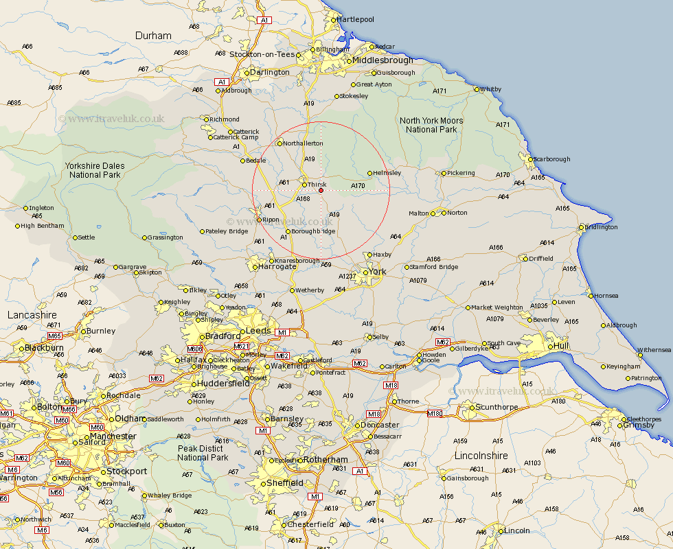
Yorkshire Map Showing Location of Thirkleby
Population: 224
District: Hambleton
Easting: 447833 Northing: 478516
Latitude: 54.2 Longitude: -1.27
 = Thirkleby
District: Hambleton
Easting: 447833 Northing: 478516
Latitude: 54.2 Longitude: -1.27
= Thirkleby
This Thirkleby map below is supplied by Google. Use the tools in the top left corner to zoom into street level or zoom out for a road map, you may also need to zoom in to see Thirkleby on the map. Click and drag the map to move around. If the map fails to load try and refresh your browser or zoom in or out (+ or -).
Update - it seems Google no longer allow people to use their maps for free! This Thirkleby map sometimes loads and sometimes gives a error. I am working on a solution.
Closest 30 Towns or Cities to Thirkleby (Population over 500)
Thirsk 4.72km Raskelf 7.5km Topcliffe 7.81km Ampleforth 9.76km Easingwold 10.23km Dishforth 11.23km Alne 13.16km Helmsley 14.14km Stillington 14.8km Tollerton 15.18km Boroughbridge 15.61km Huby 15.61km Marton le Moor 16.19km Marton 16.19km Ouseburn 16.99km Great Ouseburn 16.99km Northallerton 18.35km Linton upon Ouse 18.57km Linton 18.57km Linton-on-Ouse 18.57km Linton on Ouse 18.57km Osmotherley 18.66km Ripon 18.73km Nawton 18.79km Newton 18.82km Newton upon Ouse 18.82km Brompton 19.31km Tanfield 19.51km West Tanfield 19.51km Bishop Monkton 19.98km