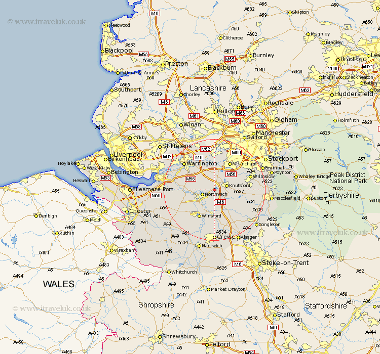
Cheshire Map Showing Location of Tabley
Population: 137
District: Macclesfield
Easting: 371112 Northing: 376376
Latitude: 53.28 Longitude: -2.43
 = Tabley
District: Macclesfield
Easting: 371112 Northing: 376376
Latitude: 53.28 Longitude: -2.43
= Tabley
This Tabley map below is supplied by Google. Use the tools in the top left corner to zoom into street level or zoom out for a road map, you may also need to zoom in to see Tabley on the map. Click and drag the map to move around. If the map fails to load try and refresh your browser or zoom in or out (+ or -).
Update - it seems Google no longer allow people to use their maps for free! This Tabley map sometimes loads and sometimes gives a error. I am working on a solution.
Closest 30 Towns or Cities to Tabley (Population over 500)
Plumbley 2.15km Plumley Station 2.15km Lostock Gralam 2.88km Northwick 4.8km Marston 4.8km Northwich 4.8km Knutsford 4.8km Mere 5.67km Peover 6.66km Peover Superior 6.66km Anderton 6.9km High Legh 7.5km Davenham 7.85km Mobberley 8.6km Goostrey 8.67km Lymm 9.27km Hartford 9.55km Holmes Chapel 10.27km Bowdon 10.28km Stretton 10.46km Weaverham 10.64km Appleton 10.73km Whitegate 10.73km Middlewick 11.12km Middlewich 11.12km Chelford 11.23km Acton 11.23km Cuddington 12.4km Thelwall 12.42km Altrincham 12.42km