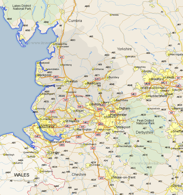
Lancashire Map Showing Location of Golborne
Population: 21262
Area Size (ha): 484
District: Wigan
Easting: 360173 Northing: 396857
Latitude: 53.47 Longitude: -2.6
 = Golborne
Area Size (ha): 484
District: Wigan
Easting: 360173 Northing: 396857
Latitude: 53.47 Longitude: -2.6
= Golborne
This Golborne map below is supplied by Google. Use the tools in the top left corner to zoom into street level or zoom out for a road map, you may also need to zoom in to see Golborne on the map. Click and drag the map to move around. If the map fails to load try and refresh your browser or zoom in or out (+ or -).
Update - it seems Google no longer allow people to use their maps for free! This Golborne map sometimes loads and sometimes gives a error. I am working on a solution.
Closest 30 Towns or Cities to Golborne (Population over 500)
Ashton in Makerfield 3.79km Ashton 3.79km Haydock 4.41km Abram 5.67km Leigh 5.82km Wigan 7.49km Ince-in-Makerfield 7.49km Ince 7.49km Hindley 7.49km Billinge 7.58km Atherton 8.64km St Helens 9.02km Saint Helens 9.02km St. Helens 9.02km Tyldesley 10.43km Westhoughton 10.78km Eccleston 12.28km Shevington 12.41km Irlam 12.7km Blackrod 13.01km Rainhull 13.3km Rainhill 13.3km Appley Bridge 13.53km Standish 13.69km Walkden 14.35km Rainford 14.35km Prescott 14.37km Prescot 14.37km Cronton 14.42km Adlington 14.82km