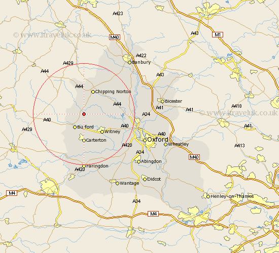
Oxfordshire Map Showing Location of Shipton
Population: 2667
Area Size (ha): 94
District: West Oxfordshire
Easting: 428697 Northing: 216954
Latitude: 51.85 Longitude: -1.58
 = Shipton
Area Size (ha): 94
District: West Oxfordshire
Easting: 428697 Northing: 216954
Latitude: 51.85 Longitude: -1.58
= Shipton
This Shipton map below is supplied by Google. Use the tools in the top left corner to zoom into street level or zoom out for a road map, you may also need to zoom in to see Shipton on the map. Click and drag the map to move around. If the map fails to load try and refresh your browser or zoom in or out (+ or -).
Update - it seems Google no longer allow people to use their maps for free! This Shipton map sometimes loads and sometimes gives a error. I am working on a solution.
Closest 30 Towns or Cities to Shipton (Population over 500)
Leafield 5.05km Churchill 5.56km Chadlington 5.89km Kingham 6.01km Burford 6.54km Minster Lovell 6.54km Charlbury 8.22km Hailey 8.84km Shilton 9.33km Brize Norton 9.34km Witney 10.11km Chipping Norton 10.23km Stonesfield 10.47km Carterton 11.12km North Leigh 11.71km Enstone 11.78km Ducklington 13.07km Hanborough 14.83km Church Handborough 14.83km Barton 15km Bampton 15.22km Hook Norton 16.33km Bladon 16.45km Ensham 16.58km Eynsham 16.58km Clanfield 16.68km Cassington 17.67km Stanton Harcourt 18.09km Woodstock 18.32km Tackley 18.41km