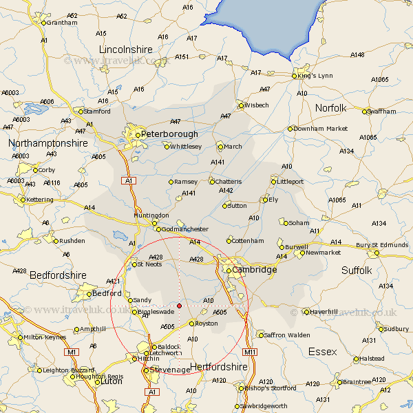
Cambridgeshire Map Showing Location of Shingay
Population: 104
District: South Cambridgeshire
Easting: 531268 Northing: 246407
Latitude: 52.1 Longitude: -0.08
 = Shingay
District: South Cambridgeshire
Easting: 531268 Northing: 246407
Latitude: 52.1 Longitude: -0.08
= Shingay
This Shingay map below is supplied by Google. Use the tools in the top left corner to zoom into street level or zoom out for a road map, you may also need to zoom in to see Shingay on the map. Click and drag the map to move around. If the map fails to load try and refresh your browser or zoom in or out (+ or -).
Update - it seems Google no longer allow people to use their maps for free! This Shingay map sometimes loads and sometimes gives a error. I am working on a solution.
Closest 30 Towns or Cities to Shingay (Population over 500)
Litlington 3.7km Guilden Morden 3.89km Bassingbourn 4.35km Orwell 5.87km Steeple Morden 6.01km Meldreth 6.83km Melbourn 7.08km Melborn 7.08km Barrington 8.18km Gamlingay 8.8km Shepreth 9.29km Bourn 9.54km Needham Market 9.71km Haslingfield 9.83km Gransden 9.87km Great Gransden 9.87km Toft 10.32km Foxton 10.41km Foulmere 11.54km Fowlmere 11.54km Harston 11.97km Comberton 12.21km Thriplow 12.52km Hardwicke 13.05km Hardwick 13.05km Hauxton 13.7km Papworth 15km Papworth Everard 15km Coton 15.11km Shelford 15.25km