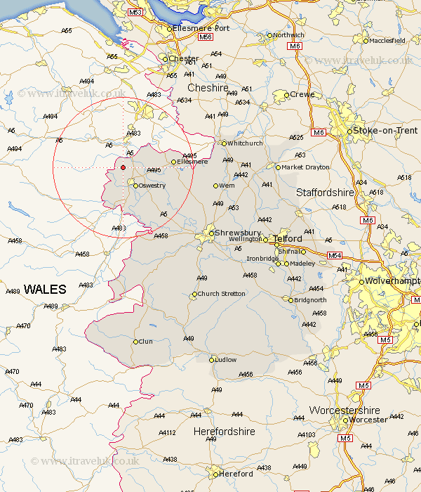
Shropshire Map Showing Location of Selattyn
Population: 3927
District: Oswestry
Easting: 327137 Northing: 334202
Latitude: 52.9 Longitude: -3.08
 = Selattyn
District: Oswestry
Easting: 327137 Northing: 334202
Latitude: 52.9 Longitude: -3.08
= Selattyn
This Selattyn map below is supplied by Google. Use the tools in the top left corner to zoom into street level or zoom out for a road map, you may also need to zoom in to see Selattyn on the map. Click and drag the map to move around. If the map fails to load try and refresh your browser or zoom in or out (+ or -).
Update - it seems Google no longer allow people to use their maps for free! This Selattyn map sometimes loads and sometimes gives a error. I am working on a solution.
Closest 30 Towns or Cities to Selattyn (Population over 500)
Gobowen 3.83km St. Martins 5.08km Saint Martins 5.08km St Martins 5.08km Oswestry 6.49km Whittington 6.71km West Felton 11.44km Pant 13.02km Llanyblodwel 13.4km Ellesmere 13.54km Kinnerley 14.61km Welshampton 15.65km Cockshutt 16.62km Cockshut 16.62km Great Ness 19.27km Baschurch 19.5km Loppington 20.47km Alberbury 22.26km Whixall 24.59km Wem 25.23km Westbury 25.71km Ford 25.72km Bicton 25.78km Whitchurch 27.82km Prees 28.01km Precs 28.01km Hadnall 28.75km Hanwood 30.04km Great Hanwood 30.04km Stanton 30.53km