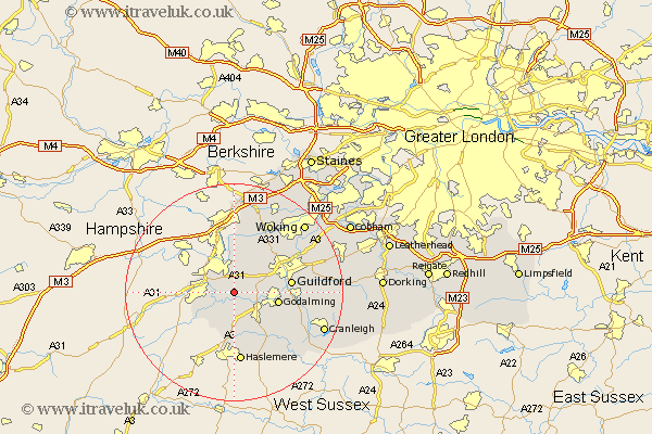
Surrey Map Showing Location of Seale
Population: 887
District: Guildford
Easting: 489653 Northing: 145371
Latitude: 51.2 Longitude: -0.72
 = Seale
District: Guildford
Easting: 489653 Northing: 145371
Latitude: 51.2 Longitude: -0.72
= Seale
This Seale map below is supplied by Google. Use the tools in the top left corner to zoom into street level or zoom out for a road map, you may also need to zoom in to see Seale on the map. Click and drag the map to move around. If the map fails to load try and refresh your browser or zoom in or out (+ or -).
Update - it seems Google no longer allow people to use their maps for free! This Seale map sometimes loads and sometimes gives a error. I am working on a solution.
Closest 30 Towns or Cities to Seale (Population over 500)
Tongham 2.19km Puttenham 3.48km Elstead 3.88km Compton 5.81km Farnham 5.81km Normandy 6.56km Milford 6.89km Thursley 7.42km Frensham 8.04km Goldaming 8.34km Godalming 8.34km Witley 9.42km Shalford 10.45km Guilford 10.61km Guildford 10.61km Pirbright 10.93km Deepcut 11.12km Frimley 11.18km Hindhead 11.18km Hambledon 11.59km Bramley 11.76km Worplesdon 12.32km Wonersh 12.91km Haslemere 13.03km Chiddingfold 13.13km Chilworth 14.05km St Martha 14.05km St. Martha 14.05km Saint Martha 14.05km Dunsfold 15.27km