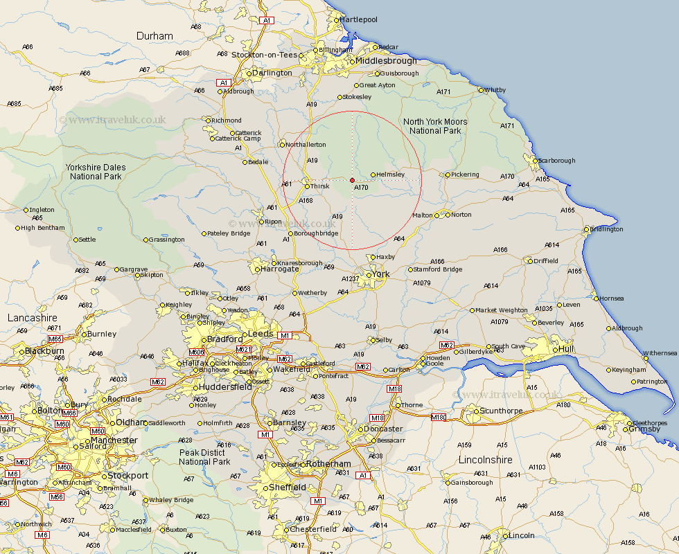
Yorkshire Map Showing Location of Scawton
District: Ryedale
Easting: 455399 Northing: 482306
Latitude: 54.23 Longitude: -1.15
 = Scawton
Easting: 455399 Northing: 482306
Latitude: 54.23 Longitude: -1.15
= Scawton
This Scawton map below is supplied by Google. Use the tools in the top left corner to zoom into street level or zoom out for a road map, you may also need to zoom in to see Scawton on the map. Click and drag the map to move around. If the map fails to load try and refresh your browser or zoom in or out (+ or -).
Update - it seems Google no longer allow people to use their maps for free! This Scawton map sometimes loads and sometimes gives a error. I am working on a solution.
Closest 30 Towns or Cities to Scawton (Population over 500)
Ampleforth 4.29km Helmsley 5.72km Nawton 10.83km Thirsk 12.06km Raskelf 12.88km Easingwold 13.37km Kirkby Moorside 14.56km Kirby Moorside 14.56km Stillington 14.98km Topcliffe 16.16km Huby 16.71km Alne 17.54km Terrington 17.62km Osmotherley 17.74km Slingsby 17.78km Tollerton 19.03km Sheriff Hutton 19.33km Dishforth 19.67km Whorlton 21.4km Northallerton 21.49km Brompton 21.63km Strensall 21.75km Shipton 22.24km Ingleby 22.47km Newton upon Ouse 22.66km Newton 22.66km Ouseburn 23.09km Great Ouseburn 23.09km Linton on Ouse 23.17km Linton-on-Ouse 23.17km