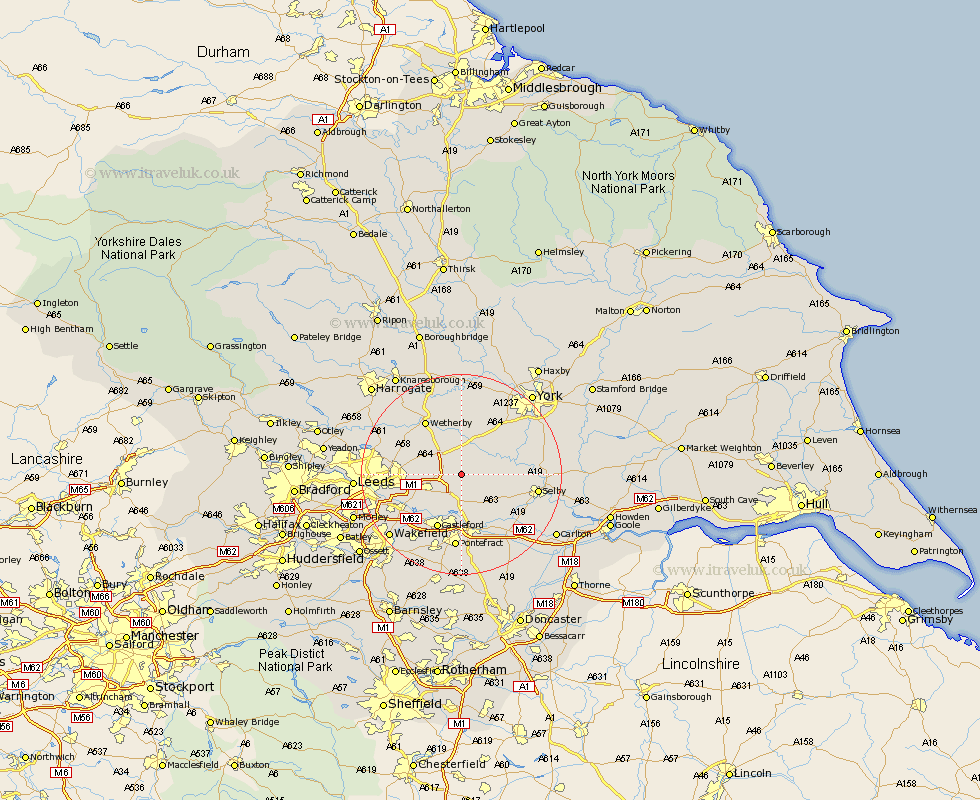
Yorkshire Map Showing Location of Saxton
Population: 468
District: Selby
Easting: 447178 Northing: 435863
Latitude: 53.82 Longitude: -1.28
 = Saxton
District: Selby
Easting: 447178 Northing: 435863
Latitude: 53.82 Longitude: -1.28
= Saxton
This Saxton map below is supplied by Google. Use the tools in the top left corner to zoom into street level or zoom out for a road map, you may also need to zoom in to see Saxton on the map. Click and drag the map to move around. If the map fails to load try and refresh your browser or zoom in or out (+ or -).
Update - it seems Google no longer allow people to use their maps for free! This Saxton map sometimes loads and sometimes gives a error. I am working on a solution.
Closest 30 Towns or Cities to Saxton (Population over 500)
Sherburn 2.87km Sherburn in Elmet 2.87km Aberford 3.28km Micklefield 3.77km Church Fenton 4.38km Ulleskelf 5.73km South Milford 5.97km Tadcaster 7.49km Garforth 7.54km Kippax 7.8km Monk Fryston 8.11km Bramham 8.6km Scholes 8.75km Hambleton 9.47km Thorner 9.5km Boston Spa 10.24km Swillington 10.37km Cawood 11.09km Brotherton 11.17km Thorpe Arch 11.59km Thorp Arch 11.59km Castleford 11.95km Collingham 12.01km Wistow 12.03km Scarcroft 12.27km Bardsey 12.32km East Keswick 12.41km Wetherby 12.91km Knottingley 13.39km Knottingly 13.39km