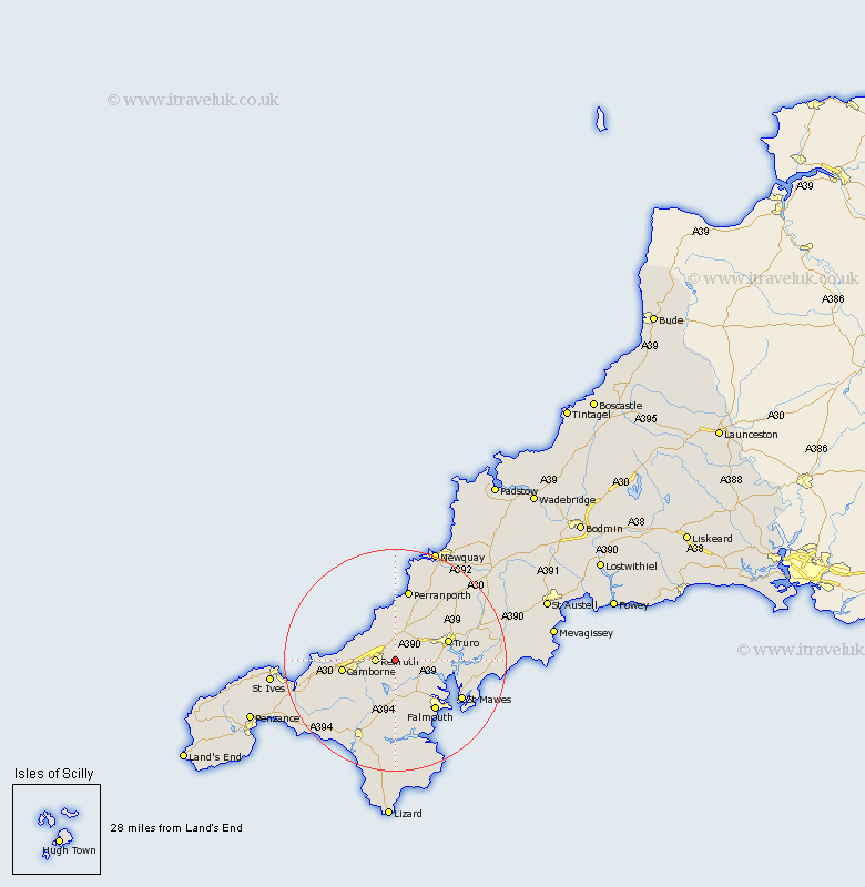
Cornwall Map Showing Location of Saint Day
Population: 1949
Area Size (ha): 36
District: Kerrier
Easting: 173008 Northing: 41952
Latitude: 50.23 Longitude: -5.18
 = Saint Day
Area Size (ha): 36
District: Kerrier
Easting: 173008 Northing: 41952
Latitude: 50.23 Longitude: -5.18
= Saint Day
This Saint Day map below is supplied by Google. Use the tools in the top left corner to zoom into street level or zoom out for a road map, you may also need to zoom in to see Saint Day on the map. Click and drag the map to move around. If the map fails to load try and refresh your browser or zoom in or out (+ or -).
Update - it seems Google no longer allow people to use their maps for free! This Saint Day map sometimes loads and sometimes gives a error. I am working on a solution.
Closest 30 Towns or Cities to Saint Day (Population over 500)
Gwennap 2.19km Chacewater 2.2km Redruth 3.56km Stithians 5.56km Illogan 5.93km Kenwyn 9.09km Portreath 9.09km Troon 9.45km Kea 9.48km Penryn 9.49km St. Agnes 9.57km St Agnes 9.57km Saint Agnes 9.57km Camborne 9.66km Truro 10.18km St. Feock 10.18km St Feoch 10.18km Feock 10.18km St Feock 10.18km St. Feoch 10.18km Saint Feock 10.18km Saint Feoch 10.18km Budock Water 10.41km Budock 10.41km Perranzabuloe 11.37km Falmouth 11.68km Mylor 12.04km Mylor Bridge 12.04km Wendron 12.09km Crowan 12.44km