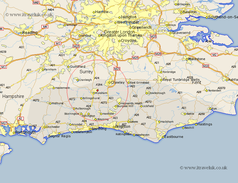
Sussex Map Showing Location of Roffey
District: Horsham
Easting: 519102 Northing: 131141
Latitude: 51.07 Longitude: -0.3
 = Roffey
Easting: 519102 Northing: 131141
Latitude: 51.07 Longitude: -0.3
= Roffey
This Roffey map below is supplied by Google. Use the tools in the top left corner to zoom into street level or zoom out for a road map, you may also need to zoom in to see Roffey on the map. Click and drag the map to move around. If the map fails to load try and refresh your browser or zoom in or out (+ or -).
Update - it seems Google no longer allow people to use their maps for free! This Roffey map sometimes loads and sometimes gives a error. I am working on a solution.
Closest 30 Towns or Cities to Roffey (Population over 500)
Warnham 2.97km Horsham 2.98km West Horsham 2.98km Rusper 4.37km Lower Beeding 6.57km Southwater 6.57km Itchingfield 6.91km Slinfold 7.23km Nuthurst 7.42km Slaugham 7.92km Crawley 9.3km Cowfold 9.56km Rudgwick 10.02km West Grinstead 11.36km Bolney 11.62km Botney 11.62km Billingshurst 11.87km Shipley 12.06km Worth 12.22km South Nutfield 12.91km Cuckfield 12.91km Balcombe 12.95km Wisborough Green 15.05km Loxwood 15.14km Turners Hill 15.25km Ardingly 15.59km Burgess Hill 16.11km Baywards Heath 16.78km Haywards Heath 16.78km Henfield 16.85km