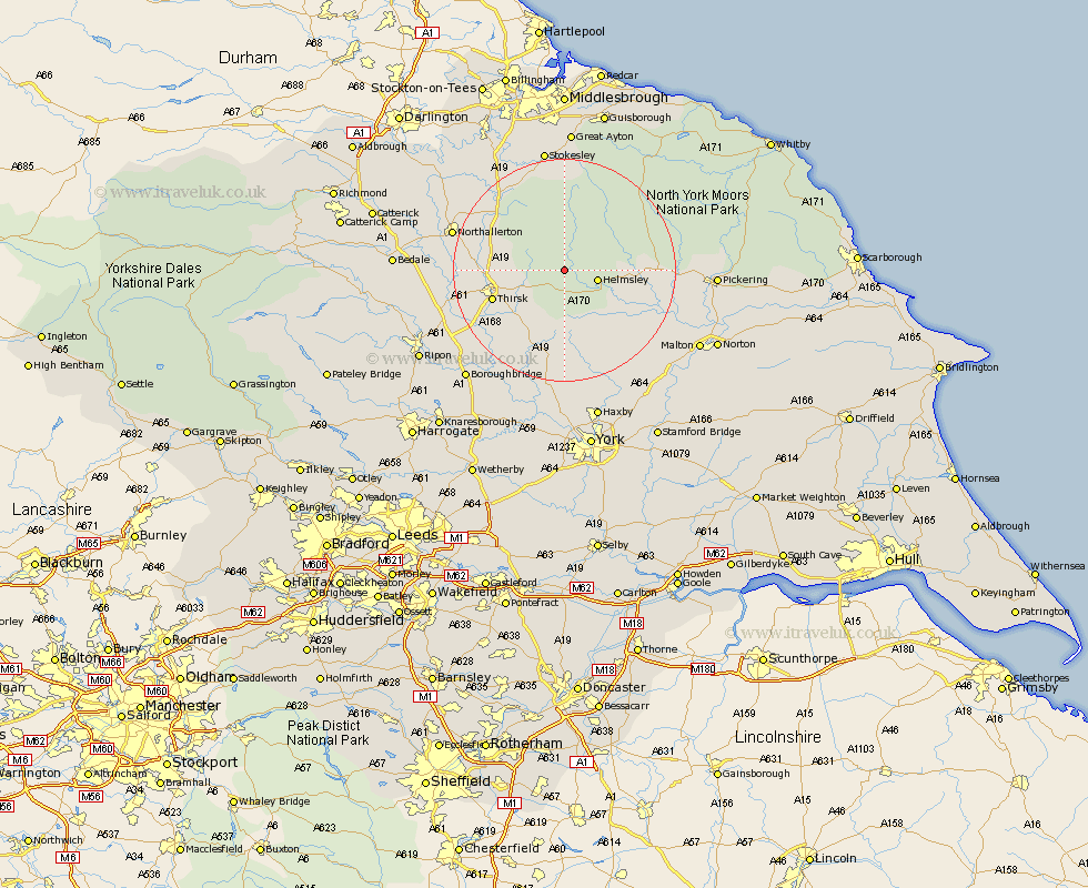
Yorkshire Map Showing Location of Old Byland
Population: 141
District: Ryedale
Easting: 455354 Northing: 486022
Latitude: 54.27 Longitude: -1.15
 = Old Byland
District: Ryedale
Easting: 455354 Northing: 486022
Latitude: 54.27 Longitude: -1.15
= Old Byland
This Old Byland map below is supplied by Google. Use the tools in the top left corner to zoom into street level or zoom out for a road map, you may also need to zoom in to see Old Byland on the map. Click and drag the map to move around. If the map fails to load try and refresh your browser or zoom in or out (+ or -).
Update - it seems Google no longer allow people to use their maps for free! This Old Byland map sometimes loads and sometimes gives a error. I am working on a solution.
Closest 30 Towns or Cities to Old Byland (Population over 500)
Helmsley 5.72km Ampleforth 7.73km Nawton 11.45km Thirsk 13.15km Kirby Moorside 14.07km Kirkby Moorside 14.07km Osmotherley 14.77km Raskelf 16.2km Easingwold 16.99km Topcliffe 17.78km Whorlton 17.89km Stillington 18.66km Ingleby 18.81km Brompton 19.62km Northallerton 19.82km Slingsby 19.97km Great Broughton 20.41km Huby 20.42km Terrington 20.5km Alne 21.1km Dishforth 21.66km Stokesley 22.47km Sheriff Hutton 22.61km Seamer 22.65km Tollerton 22.66km Middleton upon Leven 23.49km Middleton 23.49km Pickering 24.97km Strensall 25.27km Shipton 25.95km