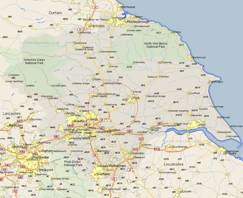
Yorkshire Map Showing Location of Newton Kyme
Population: 281
District: Selby
Easting: 445989 Northing: 445119
Latitude: 53.9 Longitude: -1.3
 = Newton Kyme
District: Selby
Easting: 445989 Northing: 445119
Latitude: 53.9 Longitude: -1.3
= Newton Kyme
This Newton Kyme map below is supplied by Google. Use the tools in the top left corner to zoom into street level or zoom out for a road map, you may also need to zoom in to see Newton Kyme on the map. Click and drag the map to move around. If the map fails to load try and refresh your browser or zoom in or out (+ or -).
Update - it seems Google no longer allow people to use their maps for free! This Newton Kyme map sometimes loads and sometimes gives a error. I am working on a solution.
Closest 30 Towns or Cities to Newton Kyme (Population over 500)
Thorpe Arch 2.87km Thorp Arch 2.87km Tadcaster 2.87km Boston Spa 3.28km Bramham 3.77km Wetherby 5.77km Collingham 6.55km Long Marston 7.07km Ulleskelf 7.79km Rufforth 8.59km Bardsey 8.93km East Keswick 9.21km Hammerton 9.26km Kirk Hammerton 9.26km Thorner 9.46km Aberford 9.52km Scarcroft 10.51km Church Fenton 10.75km Copmanthorpe 11.07km Green Hammerton 11.12km Micklefield 11.33km Sherburn 11.59km Sherburn in Elmet 11.59km Scholes 12.01km Poppleton 12.31km Upper Poppleton 12.31km Whixley 13.02km Harewood 13.1km Acaster Malbis 13.1km Bishopthorpe 13.61km