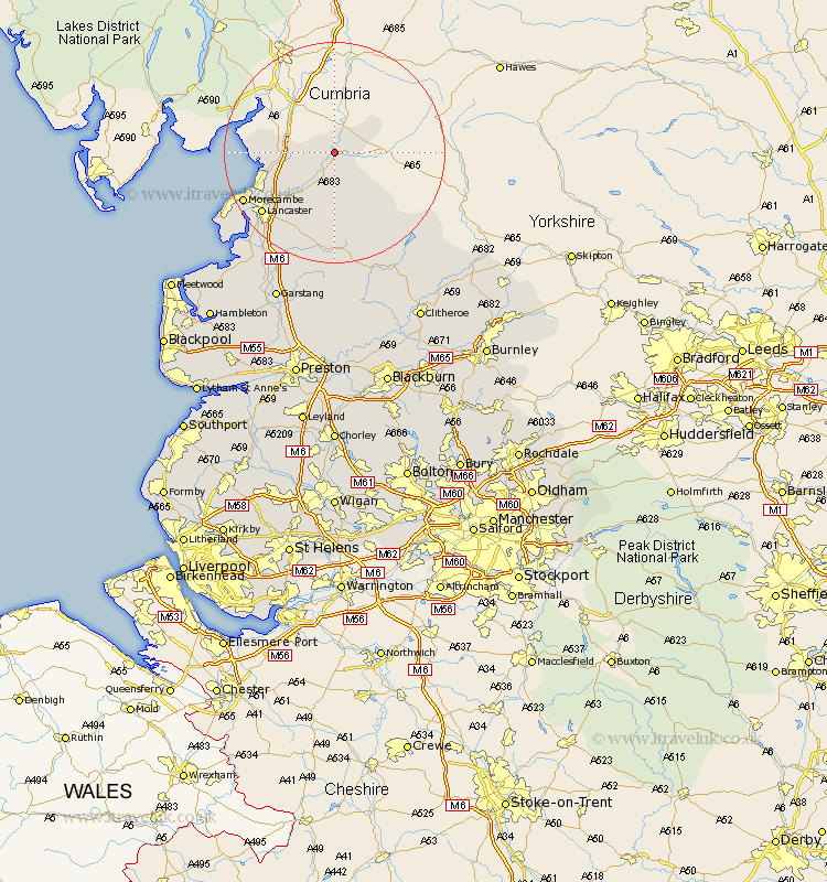
Lancashire Map Showing Location of Newton
Population: 31
District: Lancaster
Easting: 359727 Northing: 472881
Latitude: 54.15 Longitude: -2.62
 = Newton
District: Lancaster
Easting: 359727 Northing: 472881
Latitude: 54.15 Longitude: -2.62
= Newton
This Newton map below is supplied by Google. Use the tools in the top left corner to zoom into street level or zoom out for a road map, you may also need to zoom in to see Newton on the map. Click and drag the map to move around. If the map fails to load try and refresh your browser or zoom in or out (+ or -).
Update - it seems Google no longer allow people to use their maps for free! This Newton map sometimes loads and sometimes gives a error. I am working on a solution.
Closest 30 Towns or Cities to Newton (Population over 500)
Over Kellet 8.45km Warton 9.95km Nether Kellet 10.32km Carnforth 10.45km Caton 11.33km Bolton le Sands 13.15km Silverdale 13.15km Lancaster 16.74km Morecambe 17.81km Morecombe 17.81km Overton 22.58km Middleton 24.1km Forton 24.76km Cockerham 25.79km Garstang 29.47km Chipping 29.74km Pilling 31.05km Claughton-on-Brock 32.17km Claughton on Brock 32.17km Claughton 32.17km Grindleton 32.24km Waddington 32.41km Catterall 32.99km Gisburn 33.21km Chatburn 34.39km Clitheroe 34.54km Preesall 34.58km Longridge 35.28km Great Eccleston 37.15km Eccleston 37.15km