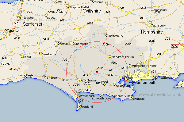
Dorset Map Showing Location of Milborne
Population: 1042
District: North Dorset
Easting: 380021 Northing: 96447
Latitude: 50.77 Longitude: -2.28
 = Milborne
District: North Dorset
Easting: 380021 Northing: 96447
Latitude: 50.77 Longitude: -2.28
= Milborne
This Milborne map below is supplied by Google. Use the tools in the top left corner to zoom into street level or zoom out for a road map, you may also need to zoom in to see Milborne on the map. Click and drag the map to move around. If the map fails to load try and refresh your browser or zoom in or out (+ or -).
Update - it seems Google no longer allow people to use their maps for free! This Milborne map sometimes loads and sometimes gives a error. I am working on a solution.
Closest 30 Towns or Cities to Milborne (Population over 500)
Milton Abbas 3.7km Bere Regis 5.04km Piddletown 5.04km Puddletown 5.04km Whitechurch 5.11km Winterborne Kingston 5.86km Bovington Camp 7.78km Winterborne Stickland 8.2km Stickland Winterborne 8.2km Puddletrenthide 9.56km Piddletrenthide 9.56km Wool 10.06km Broadmayne 11.64km Dorchester 11.93km Charminster 12.3km Spetisbury 12.97km Winfrith Newburgh 13.03km Winfrith 13.03km Cerne Abbas 13.41km Blandford Forum 13.81km Blandford 13.81km Buckland Newton 13.86km Stourpaine 14.22km Upton 14.51km Wareham 14.95km Shillingstone 15.01km Holton Heath 15.13km Holton Heath Station 15.13km Sturminster Marshall 15.35km Lytchett Matravers 15.35km