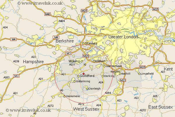
Surrey Map Showing Location of Merrow
District: Guildford
Easting: 503549 Northing: 149337
Latitude: 51.23 Longitude: -0.52
 = Merrow
Easting: 503549 Northing: 149337
Latitude: 51.23 Longitude: -0.52
= Merrow
This Merrow map below is supplied by Google. Use the tools in the top left corner to zoom into street level or zoom out for a road map, you may also need to zoom in to see Merrow on the map. Click and drag the map to move around. If the map fails to load try and refresh your browser or zoom in or out (+ or -).
Update - it seems Google no longer allow people to use their maps for free! This Merrow map sometimes loads and sometimes gives a error. I am working on a solution.
Closest 30 Towns or Cities to Merrow (Population over 500)
St. Martha 1.85km Saint Martha 1.85km Chilworth 1.85km St Martha 1.85km West Clandon 2.19km Guilford 3.94km Guildford 3.94km Albury 4.37km Shalford 5.08km Shere 5.08km Send 5.68km Wonersh 5.68km West Horsley 5.94km Ripley 6.02km Bramley 6.03km East Horsley 6.09km Horsley 6.09km Worplesdon 8.03km Goldaming 8.04km Godalming 8.04km Effingham 8.33km Compton 8.93km Woking 9.35km Pirbright 9.84km Abinger 9.85km Wotton 10km Normandy 10.61km Milford 11km Puttenham 11.08km Cranleigh 11.36km