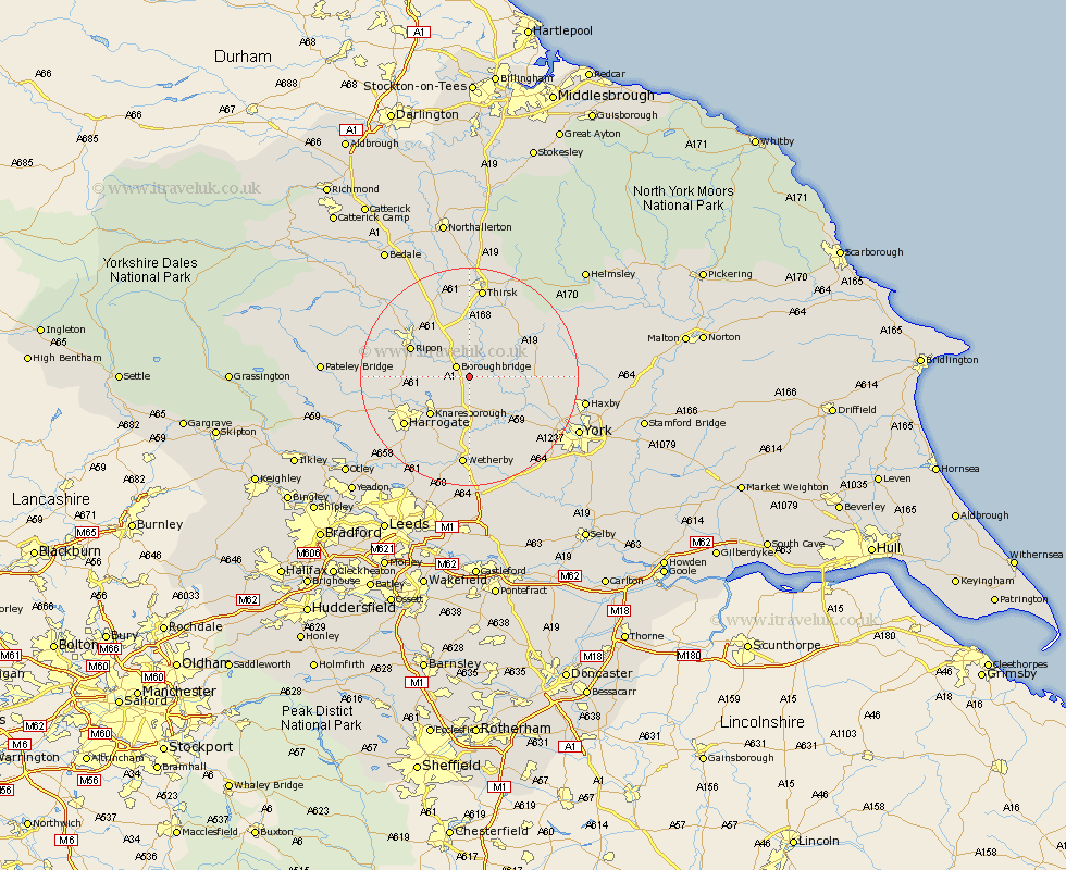
Yorkshire Map Showing Location of Marton
Population: 516
District: Harrogate
Easting: 441443 Northing: 463623
Latitude: 54.07 Longitude: -1.37
 = Marton
District: Harrogate
Easting: 441443 Northing: 463623
Latitude: 54.07 Longitude: -1.37
= Marton
This Marton map below is supplied by Google. Use the tools in the top left corner to zoom into street level or zoom out for a road map, you may also need to zoom in to see Marton on the map. Click and drag the map to move around. If the map fails to load try and refresh your browser or zoom in or out (+ or -).
Update - it seems Google no longer allow people to use their maps for free! This Marton map sometimes loads and sometimes gives a error. I am working on a solution.
Closest 30 Towns or Cities to Marton (Population over 500)
Boroughbridge 2.85km Ouseburn 3.75km Great Ouseburn 3.75km Whixley 6.45km Linton upon Ouse 8.47km Linton 8.47km Linton-on-Ouse 8.47km Linton on Ouse 8.47km Green Hammerton 8.6km Burton Leonard 8.7km Monkton 8.89km Bishop Monkton 8.89km Alne 8.89km Tollerton 9.79km Dishforth 9.82km Knaresborough 9.88km Hammerton 10.25km Kirk Hammerton 10.25km Newton 10.47km Newton upon Ouse 10.47km Raskelf 10.62km Ripon 11.25km Easingwold 12.21km Topcliffe 13.01km Killinghall 13.2km Harrogate 14.3km Shipton 14.62km Huby 15.34km Long Marston 15.63km Hampsthwaite 16.22km