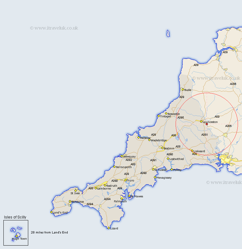
Cornwall Map Showing Location of Lawbitton
Population: 270
District: North Cornwall
Easting: 236128 Northing: 82291
Latitude: 50.62 Longitude: -4.32
 = Lawbitton
District: North Cornwall
Easting: 236128 Northing: 82291
Latitude: 50.62 Longitude: -4.32
= Lawbitton
This Lawbitton map below is supplied by Google. Use the tools in the top left corner to zoom into street level or zoom out for a road map, you may also need to zoom in to see Lawbitton on the map. Click and drag the map to move around. If the map fails to load try and refresh your browser or zoom in or out (+ or -).
Update - it seems Google no longer allow people to use their maps for free! This Lawbitton map sometimes loads and sometimes gives a error. I am working on a solution.
Closest 30 Towns or Cities to Lawbitton (Population over 500)
Launceston 3.98km Lezant 4.4km South Petherwin 4.7km Lewannick 8.44km Linkinhorne 9.92km North Petherwin 11.07km North Hill 11.08km Callington 13.03km Altarnun 15.4km Calstock 16.97km Bere Alston 16.97km Liskeard 20.79km Menheniot 21.58km Dobwalls 23.31km Saltash 23.34km Poundstock 23.42km Pounstock 23.42km Marhamchurch 24.77km Markhamchurch 24.77km Camelford 25.87km Morval 27.61km Cardingham 27.83km Cardinham 27.83km Sheviock 27.9km Sherviock 27.9km Blisland 28.18km Duloe 28.5km Bude 28.51km Torpoint 29km Forrabury 29.16km