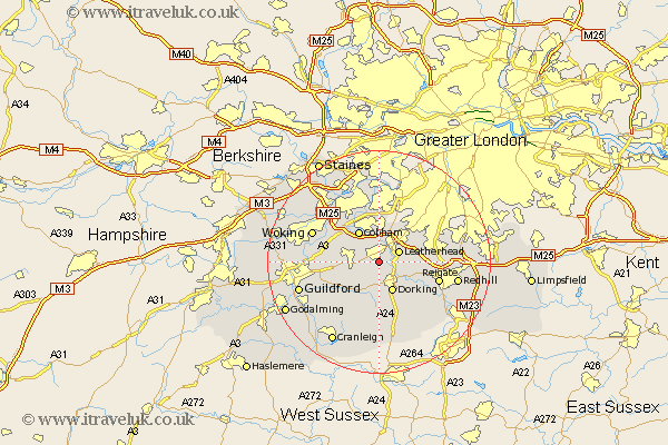
Surrey Map Showing Location of Great Bookham
District: Mole Valley
Easting: 513937 Northing: 153273
Latitude: 51.27 Longitude: -0.37
 = Great Bookham
Easting: 513937 Northing: 153273
Latitude: 51.27 Longitude: -0.37
= Great Bookham
This Great Bookham map below is supplied by Google. Use the tools in the top left corner to zoom into street level or zoom out for a road map, you may also need to zoom in to see Great Bookham on the map. Click and drag the map to move around. If the map fails to load try and refresh your browser or zoom in or out (+ or -).
Update - it seems Google no longer allow people to use their maps for free! This Great Bookham map sometimes loads and sometimes gives a error. I am working on a solution.
Closest 30 Towns or Cities to Great Bookham (Population over 500)
Effingham 2.97km Leatherhead 3.94km Mickleham 3.94km Horsley 5km East Horsley 5km Oxshott 5.68km Westcott 5.68km West Horsley 5.8km Dorking 6.02km Cobham 6.56km Church Cobham 6.56km Wotton 7.51km Ripley 8.32km Buckland 8.93km Betchworth 8.93km Esher 9.26km Claygate 9.33km Tadworth 9.46km West Clandon 9.46km Abinger 9.56km Holmwood 9.91km Byfleet 10.16km Shere 10.17km Albury 11km Reigate 11.08km Send 11.74km St. Martha 11.83km Chilworth 11.83km St Martha 11.83km Saint Martha 11.83km