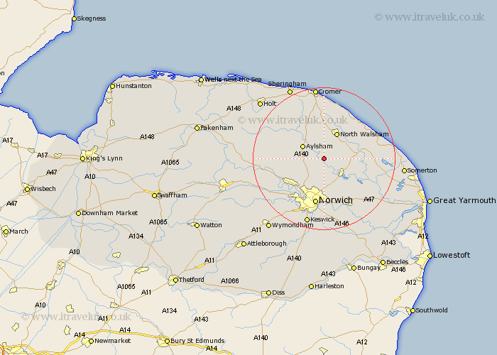
Norfolk Map Showing Location of Lamas Little Hautbois
Population: 1685
District: Broadland
Easting: 624935 Northing: 322179
Latitude: 52.75 Longitude: 1.33
 = Lamas Little Hautbois
District: Broadland
Easting: 624935 Northing: 322179
Latitude: 52.75 Longitude: 1.33
= Lamas Little Hautbois
This Lamas Little Hautbois map below is supplied by Google. Use the tools in the top left corner to zoom into street level or zoom out for a road map, you may also need to zoom in to see Lamas Little Hautbois on the map. Click and drag the map to move around. If the map fails to load try and refresh your browser or zoom in or out (+ or -).
Update - it seems Google no longer allow people to use their maps for free! This Lamas Little Hautbois map sometimes loads and sometimes gives a error. I am working on a solution.
Closest 30 Towns or Cities to Lamas Little Hautbois (Population over 500)
Coltishall 2.91km Horstead 3.87km Hainford 4.33km Haynford 4.33km Hevingham 4.49km Felmingham 5.56km Marsham 5.91km Aylsham 6.72km Wroxham 7.15km Hoveton 7.23km Worstead 7.68km Rackheath 7.75km Smallburgh 8.07km Beeston St. Lawrence 8.07km Beeston St Lawrence 8.07km Beeston 8.07km Beeston Saint Lawrence 8.07km North Walsham 8.14km Horsham St Faith 8.14km Horsham St. Faith 8.14km Horsham 8.14km Horsham Saint Faith 8.14km Neatishead 9.17km Spixworth 9.26km Salhouse 9.3km Horsford 9.3km Erpingham 10.83km Cawston 11.37km Trunch 11.99km Great Plumstead 11.99km