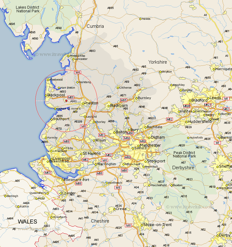
Lancashire Map Showing Location of Kirkham
Population: 9316
Area Size (ha): 181
District: Fylde
Easting: 342901 Northing: 432258
Latitude: 53.78 Longitude: -2.87
 = Kirkham
Area Size (ha): 181
District: Fylde
Easting: 342901 Northing: 432258
Latitude: 53.78 Longitude: -2.87
= Kirkham
This Kirkham map below is supplied by Google. Use the tools in the top left corner to zoom into street level or zoom out for a road map, you may also need to zoom in to see Kirkham on the map. Click and drag the map to move around. If the map fails to load try and refresh your browser or zoom in or out (+ or -).
Update - it seems Google no longer allow people to use their maps for free! This Kirkham map sometimes loads and sometimes gives a error. I am working on a solution.
Closest 30 Towns or Cities to Kirkham (Population over 500)
Warton 2.15km Freckleton 3.7km Plumpton 4.38km Lea Town 4.75km Lea 4.75km Elswick 5.67km Inskip 5.98km Singleton 7.08km Great Singleton 7.08km Eccleston 7.42km Great Eccleston 7.42km Woodplumpton 7.89km Longton 8.61km Hutton 8.61km Lytham Saint Anne's 8.61km Lytham 8.61km Lytham St Anne's 8.61km Lytham St. Anne's 8.61km Poulton 9.46km Poulton le Fylde 9.46km Barton 9.51km Broughton 9.51km Penwortham 9.51km Preston 10.03km Much Hoole 10.25km Hoole 10.25km Hambleton 10.25km Catterall 11.36km Banks 11.6km Blackpool 12.6km