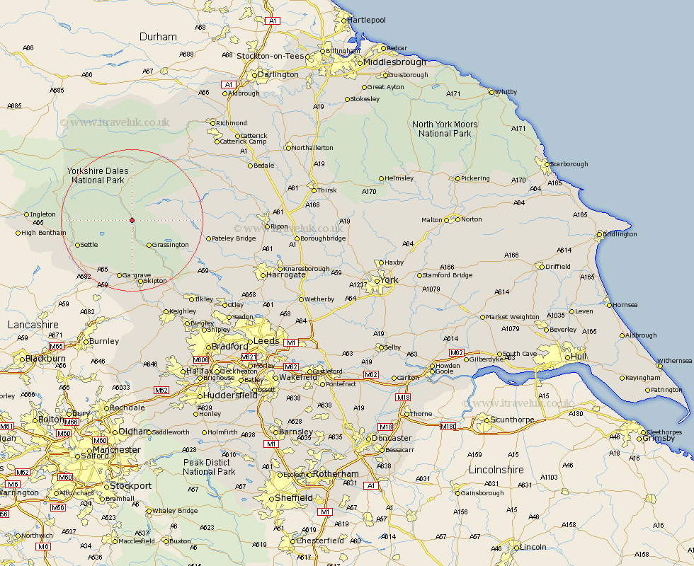
Yorkshire Map Showing Location of Kettlewell
Population: 323
District: Craven
Easting: 396733 Northing: 470848
Latitude: 54.13 Longitude: -2.05
 = Kettlewell
District: Craven
Easting: 396733 Northing: 470848
Latitude: 54.13 Longitude: -2.05
= Kettlewell
This Kettlewell map below is supplied by Google. Use the tools in the top left corner to zoom into street level or zoom out for a road map, you may also need to zoom in to see Kettlewell on the map. Click and drag the map to move around. If the map fails to load try and refresh your browser or zoom in or out (+ or -).
Update - it seems Google no longer allow people to use their maps for free! This Kettlewell map sometimes loads and sometimes gives a error. I am working on a solution.
Closest 30 Towns or Cities to Kettlewell (Population over 500)
Grassington 8.59km Threshfield 9.51km Bradley 10.74km Settle 15.95km Giggleswick 16.9km Gargrave 17km Skipton 18.65km Embsay 19.03km Bewerley 19.29km Long Preston 19.75km Hellifield 19.91km Hawes 20.95km Clapham 22.04km Carleton 22.24km Carlton 22.24km Middleham 22.55km Dacre 23.63km Leyburn 23.95km Cononley 24.18km Earby 24.48km Addingham 24.76km Darley 25.39km Glusburn 26.15km Kirkby Malzeard 26.31km Grewelthorpe 26.63km Silsden 27.04km Ingleton 27.2km Masham 27.64km Sutton-in-Craven 28.14km Ilkley 28.5km