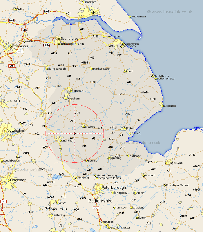
Lincolnshire Map Showing Location of Kelby
Population: 104
District: North Kesteven
Easting: 500768 Northing: 340267
Latitude: 52.95 Longitude: -0.5
 = Kelby
District: North Kesteven
Easting: 500768 Northing: 340267
Latitude: 52.95 Longitude: -0.5
= Kelby
This Kelby map below is supplied by Google. Use the tools in the top left corner to zoom into street level or zoom out for a road map, you may also need to zoom in to see Kelby on the map. Click and drag the map to move around. If the map fails to load try and refresh your browser or zoom in or out (+ or -).
Update - it seems Google no longer allow people to use their maps for free! This Kelby map sometimes loads and sometimes gives a error. I am working on a solution.
Closest 30 Towns or Cities to Kelby (Population over 500)
Ancaster 2.9km Belton 6.95km Ropsley 7.5km Sleaford 7.71km Heasingham 9.28km Leasingham 9.28km Cranwell 9.53km Caythorpe 9.99km Grantham 10.53km Fulbeck 10.81km Folkingham 11.43km Great Gonerby 11.77km Brauncewell 11.98km Ruskington 12.12km Buskington 12.12km Welbourn 13.4km Billingborough 13.41km Barrowby 13.49km Helpringham 13.53km Hale 14.52km Great Hale 14.52km Heckington 14.63km Allington 14.64km Harlaxton 15.39km Pointon 15.77km Bloxholm 15.84km Bloxholme 15.84km Corby 16.72km Navenby 16.72km Wellingore 16.83km