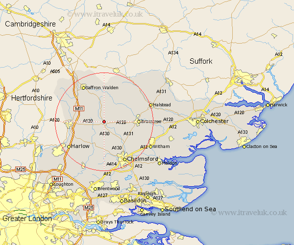
Essex Map Showing Location of Great Dunmow
Population: 4797
Area Size (ha): 148
District: Uttlesford
Easting: 562868 Northing: 223222
Latitude: 51.88 Longitude: 0.37
 = Great Dunmow
Area Size (ha): 148
District: Uttlesford
Easting: 562868 Northing: 223222
Latitude: 51.88 Longitude: 0.37
= Great Dunmow
This Great Dunmow map below is supplied by Google. Use the tools in the top left corner to zoom into street level or zoom out for a road map, you may also need to zoom in to see Great Dunmow on the map. Click and drag the map to move around. If the map fails to load try and refresh your browser or zoom in or out (+ or -).
Update - it seems Google no longer allow people to use their maps for free! This Great Dunmow map sometimes loads and sometimes gives a error. I am working on a solution.
Closest 30 Towns or Cities to Great Dunmow (Population over 500)
Great Easton 2.95km Stebbing 3.43km Felsted 4.35km Barnston 4.35km Broxted 5.89km Takeley 7.11km Thaxted 7.42km High Easter 9.33km Henham 9.75km Great Bardfield 9.75km Hatfield Broad Oak 9.75km Elsenham 9.87km Panfield 10.3km Shalford 10.7km Finchingfield 10.89km Wethersfield 10.91km Great Sampford 11.35km Debden 11.53km Stansted 11.59km Stansted Apt 11.59km Stansted Mountfitchet 11.59km Little Waltham 12.25km Great Waltham 12.51km Birchanger 12.58km Great Leighs 12.69km Black Notley 13.12km Radwinter 13.18km Wenbech 13.42km Gwimbach 13.42km Wimbish 13.42km