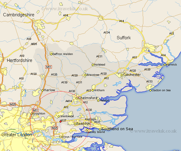
Essex Map Showing Location of Ingrave
Population: 2041
Area Size (ha): 56
District: Brentwood
Easting: 561641 Northing: 189792
Latitude: 51.58 Longitude: 0.33
 = Ingrave
Area Size (ha): 56
District: Brentwood
Easting: 561641 Northing: 189792
Latitude: 51.58 Longitude: 0.33
= Ingrave
This Ingrave map below is supplied by Google. Use the tools in the top left corner to zoom into street level or zoom out for a road map, you may also need to zoom in to see Ingrave on the map. Click and drag the map to move around. If the map fails to load try and refresh your browser or zoom in or out (+ or -).
Update - it seems Google no longer allow people to use their maps for free! This Ingrave map sometimes loads and sometimes gives a error. I am working on a solution.
Closest 30 Towns or Cities to Ingrave (Population over 500)
Herongate 0.41km Brentwood 3.89km Mountnessing 5.68km Great Burstead 5.76km Billericay 6.85km Navestock 8.86km Ramsden Heath 8.87km Basildon 9.4km South Ockendon 9.55km South Ockedon 9.55km Kelvedon Hatch 9.89km Ingatestone 9.89km Stock 10.13km Corringham 10.75km Stanford le Hope 10.91km Grays Thurrock 11.12km Grays 11.12km Stanford Rivers 12.28km Margaretting 12.52km Aveley 12.53km Wickford 12.8km West Hanningfield 13.69km High Ongar 13.77km South Hanningfield 13.83km Chipping Ongar 14.19km Tilbury Fort 15km Tilbury 15km Galleywood 15.91km South Benfleet 15.98km Benfleet 15.98km