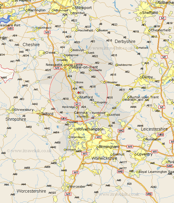
Staffordshire Map Showing Location of Hopton
Population: 1130
District: Stafford
Easting: 393263 Northing: 326238
Latitude: 52.83 Longitude: -2.1
 = Hopton
District: Stafford
Easting: 393263 Northing: 326238
Latitude: 52.83 Longitude: -2.1
= Hopton
This Hopton map below is supplied by Google. Use the tools in the top left corner to zoom into street level or zoom out for a road map, you may also need to zoom in to see Hopton on the map. Click and drag the map to move around. If the map fails to load try and refresh your browser or zoom in or out (+ or -).
Update - it seems Google no longer allow people to use their maps for free! This Hopton map sometimes loads and sometimes gives a error. I am working on a solution.
Closest 30 Towns or Cities to Hopton (Population over 500)
Stafford 3.7km Weston upon Trent 5.6km Weston 5.6km Seighford 5.9km Bednall 7.74km Stone 7.75km Haughton 8.72km Hilderstone 9.34km Colwich 9.61km Eccleshall 10.24km Penkridge 11.18km Gnosall 11.51km Gnossall 11.51km Swynnerton 12.14km Swinnerton 12.14km Church Leigh 12.89km Leigh 12.89km Church Eaton 12.89km Fulford 13.17km Rugeley 13.43km Barlaston 13.73km Colton 14.38km Abbots Bromley 14.67km Checkley 15km Wheaton Aston 15.15km Standon 15.41km Huntington 15.48km Draycott in the Moors 15.49km Draycott 15.49km High Offley 15.67km