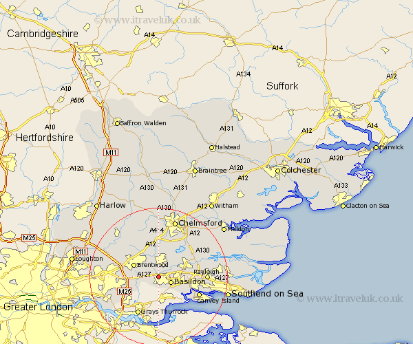
Essex Map Showing Location of Great Burstead
Population: 5818
District: Basildon
Easting: 567414 Northing: 189979
Latitude: 51.58 Longitude: 0.42
 = Great Burstead
District: Basildon
Easting: 567414 Northing: 189979
Latitude: 51.58 Longitude: 0.42
= Great Burstead
This Great Burstead map below is supplied by Google. Use the tools in the top left corner to zoom into street level or zoom out for a road map, you may also need to zoom in to see Great Burstead on the map. Click and drag the map to move around. If the map fails to load try and refresh your browser or zoom in or out (+ or -).
Update - it seems Google no longer allow people to use their maps for free! This Great Burstead map sometimes loads and sometimes gives a error. I am working on a solution.
Closest 30 Towns or Cities to Great Burstead (Population over 500)
Billericay 3.71km Basildon 3.92km Ramsden Heath 4.37km Herongate 5.4km Ingrave 5.76km Wickford 7.15km Mountnessing 7.22km Corringham 7.44km Stock 7.51km Brentwood 7.84km South Hanningfield 8.87km Stanford le Hope 9.26km West Hanningfield 9.39km Ingatestone 9.56km Rawreth 10.53km South Benfleet 10.76km Benfleet 10.76km Margaretting 11.12km Rettendon 11.82km South Ockendon 12.28km South Ockedon 12.28km Grays 12.52km Grays Thurrock 12.52km Canvey Island 12.79km East Hanningfield 13.07km Kelvedon Hatch 13.07km Galleywood 13.43km Rayleigh 13.82km Navestock 13.83km Great Baddow 14.19km