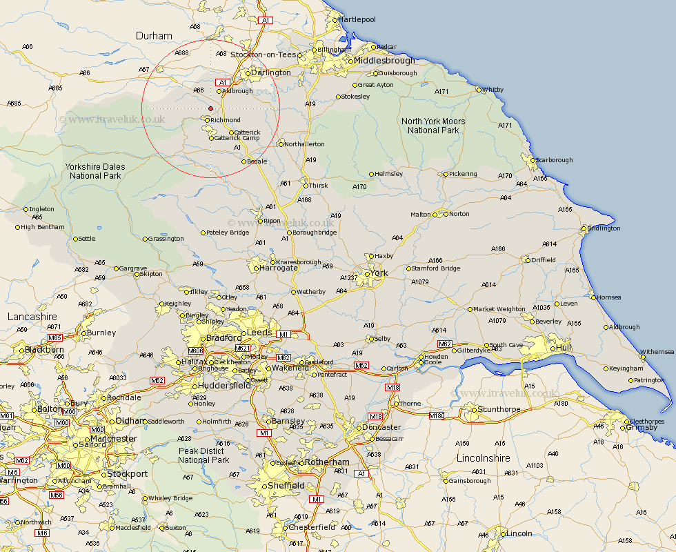
Yorkshire Map Showing Location of Gilling
Population: 555
District: Richmondshire
Easting: 418376 Northing: 504261
Latitude: 54.43 Longitude: -1.72
 = Gilling
District: Richmondshire
Easting: 418376 Northing: 504261
Latitude: 54.43 Longitude: -1.72
= Gilling
This Gilling map below is supplied by Google. Use the tools in the top left corner to zoom into street level or zoom out for a road map, you may also need to zoom in to see Gilling on the map. Click and drag the map to move around. If the map fails to load try and refresh your browser or zoom in or out (+ or -).
Update - it seems Google no longer allow people to use their maps for free! This Gilling map sometimes loads and sometimes gives a error. I am working on a solution.
Closest 30 Towns or Cities to Gilling (Population over 500)
Richmond 3.86km Middleton Tyas 4.69km Barton 5.69km Melsonby 5.96km Catterick 9.17km Scorton 9.38km North Cowton 11.4km Cowton 12km East Cowton 12km Leyburn 16.18km Crakehall 16.18km Middleham 17.89km Bedale 18.79km Northallerton 21.45km Brompton 21.52km Masham 24.47km West Tanfield 27.71km Tanfield 27.71km Osmotherley 27.97km Grewelthorpe 28.13km Bradley 29.03km Middleton 29.33km Middleton upon Leven 29.33km Kirkby Malzeard 29.96km Whorlton 30.25km Seamer 32.54km Stokesley 33.61km Thirsk 34.61km Hawes 34.64km Topcliffe 35.22km