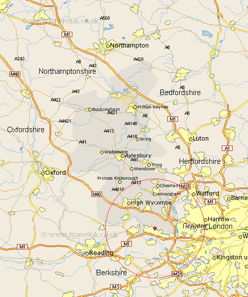
Buckinghamshire Map Showing Location of Farnham Royal
Population: 6004
Area Size (ha): 277
District: South Bucks
Easting: 495939 Northing: 182559
Latitude: 51.53 Longitude: -0.62
 = Farnham Royal
Area Size (ha): 277
District: South Bucks
Easting: 495939 Northing: 182559
Latitude: 51.53 Longitude: -0.62
= Farnham Royal
This Farnham Royal map below is supplied by Google. Use the tools in the top left corner to zoom into street level or zoom out for a road map, you may also need to zoom in to see Farnham Royal on the map. Click and drag the map to move around. If the map fails to load try and refresh your browser or zoom in or out (+ or -).
Update - it seems Google no longer allow people to use their maps for free! This Farnham Royal map sometimes loads and sometimes gives a error. I am working on a solution.
Closest 30 Towns or Cities to Farnham Royal (Population over 500)
Burnham 2.95km Hedgerley 3.89km Dorney 4.36km Taplow 4.97km Fulmer 4.97km Wooburn 5.92km Bourne End 6.86km Beaconsfield 7.51km Gerrards Cross 8.47km Chalfont St. Peter 8.73km Chalfont Saint Peter 8.73km Chalfont St Peter 8.73km Iver Heath 8.79km Denham 8.88km Iver 8.88km Flackwell Heath 9.39km Little Marlow 9.8km Chalfont St Giles 9.9km Chalfont Saint Giles 9.9km Chalfont St. Giles 9.9km Penn 10.36km Great Marlow 11.02km Marlow 11.02km Hazlemere 14.2km Amersham 14.83km High Wycombe 15.2km Chepping 15.2km Wycombe 15.2km Little Missenden 15.23km Hughenden 15.28km