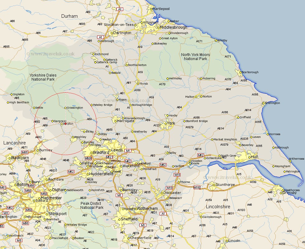
Yorkshire Map Showing Location of Embsay
Population: 1768
Area Size (ha): 41
District: Craven
Easting: 401093 Northing: 452313
Latitude: 53.97 Longitude: -1.98
 = Embsay
Area Size (ha): 41
District: Craven
Easting: 401093 Northing: 452313
Latitude: 53.97 Longitude: -1.98
= Embsay
This Embsay map below is supplied by Google. Use the tools in the top left corner to zoom into street level or zoom out for a road map, you may also need to zoom in to see Embsay on the map. Click and drag the map to move around. If the map fails to load try and refresh your browser or zoom in or out (+ or -).
Update - it seems Google no longer allow people to use their maps for free! This Embsay map sometimes loads and sometimes gives a error. I am working on a solution.
Closest 30 Towns or Cities to Embsay (Population over 500)
Skipton 2.18km Carlton 5.73km Carleton 5.73km Cononley 5.97km Glusburn 7.5km Addingham 7.52km Gargrave 7.85km Silsden 8.11km Sutton-in-Craven 9.27km Threshfield 9.52km Steeton 9.52km Keighley 10.25km Earby 10.35km Grassington 11.12km Ilkley 12.24km Hellifield 15.37km Burley 16.25km Burley in Wharfedale 16.25km Bingley 16.28km Haworth 16.82km Cullingworth 17.55km Long Preston 17.82km Wilsden 18.35km Oxenhope 18.66km Menston 18.81km Bewerley 19.19km Baildon 19.23km Dacre 19.73km Darley 19.94km Shipley 20.53km