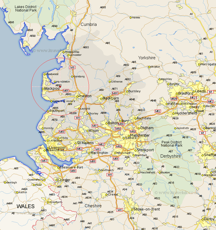
Lancashire Map Showing Location of Elswick
Population: 1057
District: Fylde
Easting: 341873 Northing: 437834
Latitude: 53.83 Longitude: -2.88
 = Elswick
District: Fylde
Easting: 341873 Northing: 437834
Latitude: 53.83 Longitude: -2.88
= Elswick
This Elswick map below is supplied by Google. Use the tools in the top left corner to zoom into street level or zoom out for a road map, you may also need to zoom in to see Elswick on the map. Click and drag the map to move around. If the map fails to load try and refresh your browser or zoom in or out (+ or -).
Update - it seems Google no longer allow people to use their maps for free! This Elswick map sometimes loads and sometimes gives a error. I am working on a solution.
Closest 30 Towns or Cities to Elswick (Population over 500)
Great Eccleston 2.15km Eccleston 2.15km Inskip 3.28km Singleton 3.28km Great Singleton 3.28km Hambleton 4.95km Kirkham 5.67km Plumpton 6.46km Poulton 6.56km Poulton le Fylde 6.56km Warton 7.41km Catterall 8.51km Lea Town 9.21km Lea 9.21km Freckleton 9.33km Thornton 9.5km Woodplumpton 9.5km Broughton 10.02km Barton 10.02km Garstang 10.65km Preesall 10.76km Blackpool 11.09km Pilling 11.33km Claughton 11.55km Claughton-on-Brock 11.55km Claughton on Brock 11.55km Cleveleys 11.55km Lytham St. Anne's 12.39km Lytham 12.39km Lytham St Anne's 12.39km