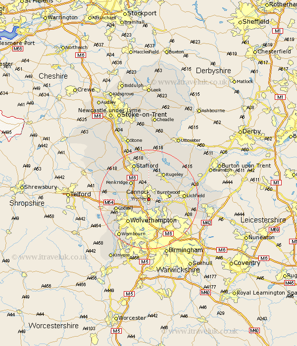
Staffordshire Map Showing Location of Great Wyrley
Population: 17402
Area Size (ha): 377
District: South Staffordshire
Easting: 398873 Northing: 308000
Latitude: 52.67 Longitude: -2.02
 = Great Wyrley
Area Size (ha): 377
District: South Staffordshire
Easting: 398873 Northing: 308000
Latitude: 52.67 Longitude: -2.02
= Great Wyrley
This Great Wyrley map below is supplied by Google. Use the tools in the top left corner to zoom into street level or zoom out for a road map, you may also need to zoom in to see Great Wyrley on the map. Click and drag the map to move around. If the map fails to load try and refresh your browser or zoom in or out (+ or -).
Update - it seems Google no longer allow people to use their maps for free! This Great Wyrley map sometimes loads and sometimes gives a error. I am working on a solution.
Closest 30 Towns or Cities to Great Wyrley (Population over 500)
Cannock 1.55km Hednesford 3.59km Huntington 3.59km Norton Canes 3.71km Shareshill 4.51km Brownhills 6.91km Pelsall 7.38km Wallsall 7.79km Walsall 7.79km Burntwood 8.02km Rushall 8.93km Hammerwich 9.25km Penkridge 9.8km Brewood 10.23km Aldridge 10.25km Longdon 10.41km Bednall 11.34km Armitage 11.46km Bilston 11.9km Rugeley 12.19km Wolverhampton 12.39km Colton 12.75km Colwich 12.87km Shenstone 13km Codsall 13km Lichfield 13.57km Wheaton Aston 14.47km Stafford 15.57km Lower Penn 16.84km Whittington 16.93km