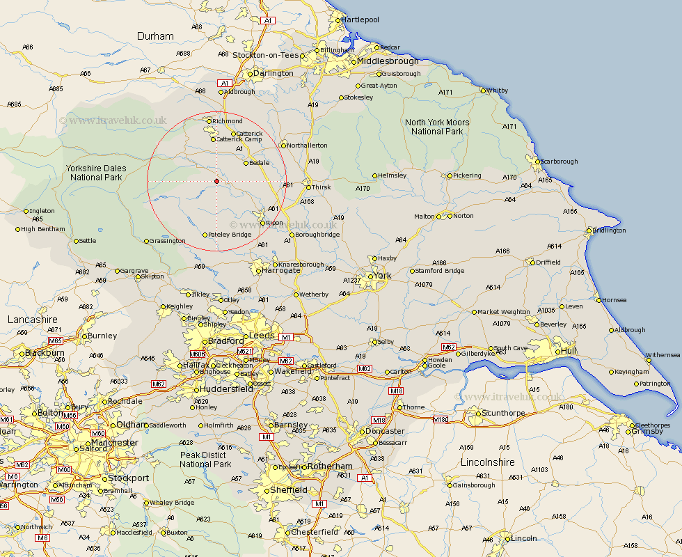
Yorkshire Map Showing Location of Ellington
Population: 59
District: Harrogate
Easting: 419552 Northing: 482014
Latitude: 54.23 Longitude: -1.7
 = Ellington
District: Harrogate
Easting: 419552 Northing: 482014
Latitude: 54.23 Longitude: -1.7
= Ellington
This Ellington map below is supplied by Google. Use the tools in the top left corner to zoom into street level or zoom out for a road map, you may also need to zoom in to see Ellington on the map. Click and drag the map to move around. If the map fails to load try and refresh your browser or zoom in or out (+ or -).
Update - it seems Google no longer allow people to use their maps for free! This Ellington map sometimes loads and sometimes gives a error. I am working on a solution.
Closest 30 Towns or Cities to Ellington (Population over 500)
Masham 3.74km Grewelthorpe 6.44km Kirkby Malzeard 8.09km Crakehall 9.18km Middleham 9.4km Bedale 9.4km West Tanfield 9.43km Tanfield 9.43km Leyburn 10.6km Catterick 15.45km Bewerley 17.23km Bradley 17.43km Ripon 17.62km Scorton 17.9km Richmond 18.66km Dacre 20.41km Northallerton 20.57km Dishforth 20.63km North Cowton 20.93km Bishop Monkton 21.16km Monkton 21.16km Topcliffe 21.33km Darley 22.24km Gilling 22.27km Brompton 22.51km Burton Leonard 22.65km Birstwith 22.89km East Cowton 23.08km Cowton 23.08km Thirsk 23.91km