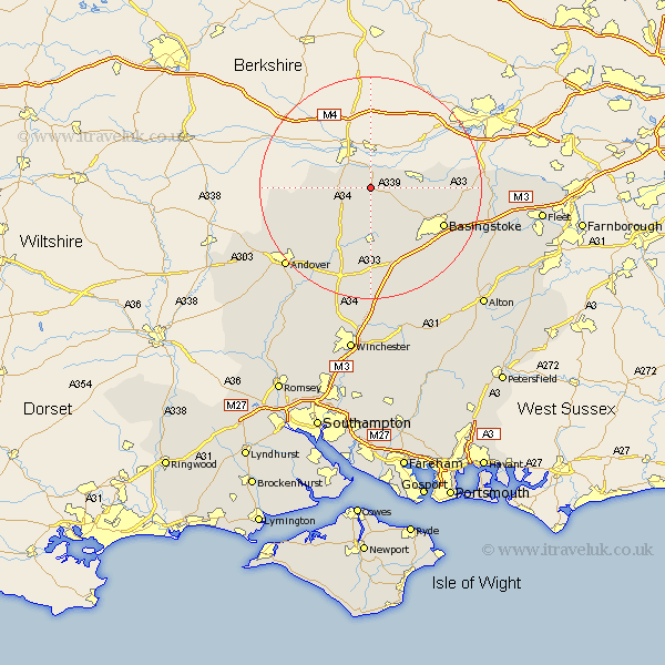
Hampshire Map Showing Location of Ecchinswell
Population: 1182
District: Basingstoke and Deane
Easting: 451082 Northing: 159667
Latitude: 51.33 Longitude: -1.27
 = Ecchinswell
District: Basingstoke and Deane
Easting: 451082 Northing: 159667
Latitude: 51.33 Longitude: -1.27
= Ecchinswell
This Ecchinswell map below is supplied by Google. Use the tools in the top left corner to zoom into street level or zoom out for a road map, you may also need to zoom in to see Ecchinswell on the map. Click and drag the map to move around. If the map fails to load try and refresh your browser or zoom in or out (+ or -).
Update - it seems Google no longer allow people to use their maps for free! This Ecchinswell map sometimes loads and sometimes gives a error. I am working on a solution.
Closest 30 Towns or Cities to Ecchinswell (Population over 500)
Kingsclere 2.18km Burghclere 3.93km Highclere 4.63km Baughurst 6.95km Tadley 9.45km East Woodhay 10.58km Oakley 10.93km Overton 11.18km Whitchurch 13.77km Silchester 14.02km Bramley 14.02km Hurstbourne Tarrant 14.74km Basingstoke 14.74km North Waltham 15.92km Dummer 16.9km Vernham Dean 17.76km Vernhams Dean 17.76km Sherfield 17.76km Sherfield upon Loddon 17.76km Basing 17.83km Tangley 18.89km Longparish 19.09km Barton Stacey 19.79km Wonston 20.68km Andover 21.14km Rotherwick 21.58km Micheldever 22.24km Upper Clatford 22.48km Upton Grey 22.63km Hook 23.23km