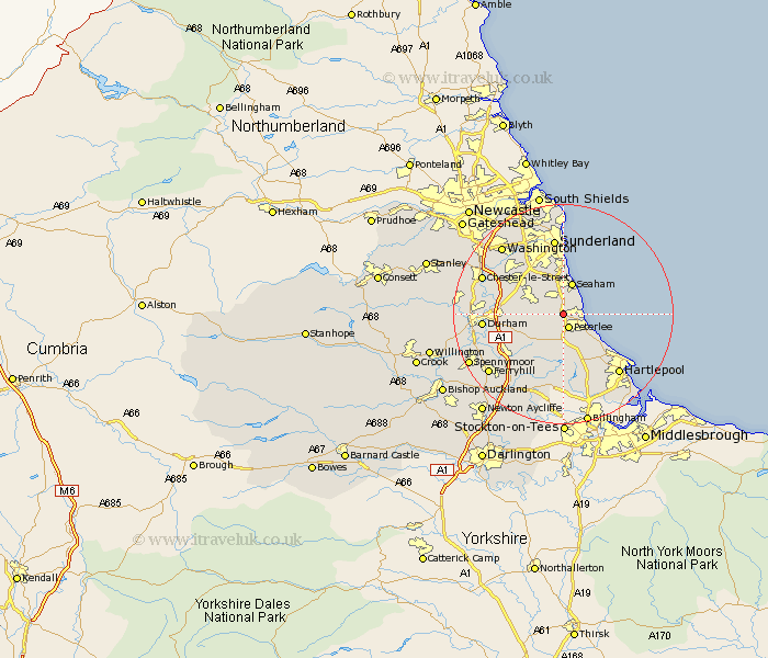
Durham Map Showing Location of Easington
Population: 7475
Area Size (ha): 162
District: Easington
Easting: 441207 Northing: 543576
Latitude: 54.79 Longitude: -1.36
 = Easington
Area Size (ha): 162
District: Easington
Easting: 441207 Northing: 543576
Latitude: 54.79 Longitude: -1.36
= Easington
This Easington map below is supplied by Google. Use the tools in the top left corner to zoom into street level or zoom out for a road map, you may also need to zoom in to see Easington on the map. Click and drag the map to move around. If the map fails to load try and refresh your browser or zoom in or out (+ or -).
Update - it seems Google no longer allow people to use their maps for free! This Easington map sometimes loads and sometimes gives a error. I am working on a solution.
Closest 30 Towns or Cities to Easington (Population over 500)
Shotton 0.53km Peterlee 2.68km South Hetton 3.09km Dalton le Dale 3.53km Dalton 3.53km Haswell 3.69km Hesleden 4.78km Murton 5.08km Seaton 5.56km Seaham 5.87km Seaham Harbour 5.87km Wingate 5.99km Thornley 6.17km Horden 6.25km Hetton le Hole 6.79km Hutton Henry 7.65km Pittington 8.13km Sherburn 8.23km Hart 9.67km West Rainton 9.68km Houghton le Spring 9.96km Trimdon 10.18km Shincliffe 11.36km Bowburn 11.64km Coxhoe 11.83km Fishburn 12.3km Elwick 12.34km Durham 13.47km Bishop Middleham 13.86km Cornforth 13.86km