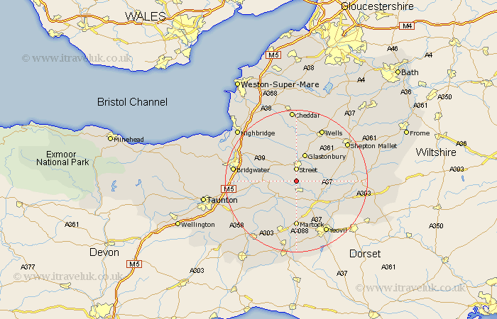
Somerset Map Showing Location of Dundon
District: South Somerset
Easting: 347472 Northing: 131880
Latitude: 51.08 Longitude: -2.75
 = Dundon
Easting: 347472 Northing: 131880
Latitude: 51.08 Longitude: -2.75
= Dundon
This Dundon map below is supplied by Google. Use the tools in the top left corner to zoom into street level or zoom out for a road map, you may also need to zoom in to see Dundon on the map. Click and drag the map to move around. If the map fails to load try and refresh your browser or zoom in or out (+ or -).
Update - it seems Google no longer allow people to use their maps for free! This Dundon map sometimes loads and sometimes gives a error. I am working on a solution.
Closest 30 Towns or Cities to Dundon (Population over 500)
Compton 2.98km Somerton 3.7km Street 3.71km Walton 3.89km High Ham 5.01km Butleigh 5.01km Charlton Mackrell 6.11km Ashcott 6.56km Barton St. David 7.23km Barton Saint David 7.23km Barton St David 7.23km Long Sutton 7.5km Baltonsborough 7.91km Shapwick 8.05km Langport 8.05km Glastonbury 8.12km Othery 9.31km Meare 9.56km West Pennard 10.18km Ilchester 10.37km Middlezoy 10.64km Yeovilton 10.94km Kingsbury Episcopi 11.66km Kingsbury 11.66km Curry Rivel 11.9km Martock 12.96km Tintinhull 13.17km Weston Zoyland 13.33km Wookey 13.79km Cossington 13.8km